What is recorded here
Fifty metres of curved stone and buried boundary mark the east end of Coolnatullagh Valley, where a possible burial mound waits in the north-west quadrant. The enclosure has no gate, name or living memory recorded, yet its walls still curve around the valley like a cupped hand. Whatever it held has gone, but the shape remains, waiting to be remembered.
Situated at the E end of Coolnatullagh Valley. Listed as ‘Enclosure’ in the RMP (1996). Indicated c. 30m to the E as ‘Enclosure fort unrecorded’ on a map annotated by T. Coffey in 1994 (SMR file). This enclosure (diam. c. 50m) was surveyed by Olive Carey (2008) and forms part of ‘Farm C2’ in Jones et al. (2011). It is defined at W by the line of the modern field boundary, at N and E by a low curving mound wall and at S by the exposed footing of a wall having some of its internal facing stones set on edge (Carey 2008, 57). A possible burial mound (CL006-098003-) lies in the NW quadrant. Mound walls in the vicinity are too fragmentary to enable the identification of a coherent field system (Carey 2008, 54-62; Jones et al. 2011, 41).
Revised by: Mary Tunney
Date of revision: 12 April 2016
The monument record does not grant public access. Check the route and ask the landowner before entering private land.
- What survives
- Recorded monument
Places near here
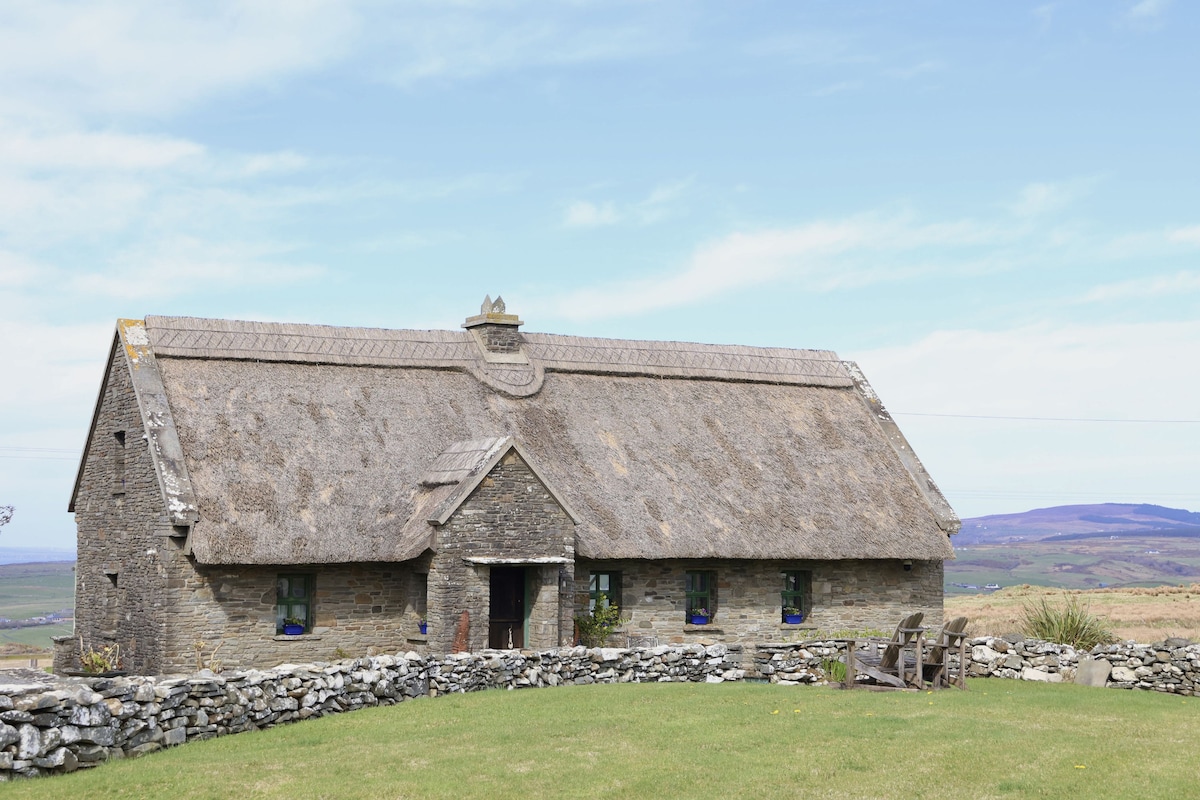 Enclosure in Coolnatullagh (burren By., Carran Par.)Enclosure · 476 yd
 Dermot & Grania's BedArchaeological place · 558 yd
 MacDuagh's BedRuins · 1.1 mi
 St. MacDuachs Church (in ruins)Church · 1.1 mi
 Cappagh CastleCastle · 1.2 mi
 Grave of Saint Mac Duagh's ServantArchaeological place · 1.3 mi
 Kilnaloone GraveyardArchaeological place · 1.5 mi
 Glencolumbkille CastleCastle · 1.8 mi
 Turlough HillMountain / peak · 2.4 mi
 Corcomroe AbbeyVisitor information · 3.8 mi
 Corcomroe Abbey Geopark SiteVisitor information · 3.8 mi
 Battle of Lough Raskabattle · 4.0 mi