What is recorded here
Situated on a narrow, level terrace of rock pavement in rough grazing. A low ridge rises to the E. Listed as ‘Hut site complex’ in the SMR (1992) and in the RMP (1996) and indicated on Geological Survey maps. On inspection in 1997 this was found to be a number of relatively modern oval and subcircular paddocks (5m x 3m up to 10m x 12m), all defined by a single drystone wall comprising erect thin flags leaning against one another (av. Wth 0.7m; H 0.4-0.9m). These are, however, lying close to and sometimes on top of older mound walls forming part of an extensive field system (CL006-042001-) stretching over Doomore and Gortaclare Mountain.
Compiled by: Mary Tunney
Date of upload: 8 February 2016
The monument record does not grant public access. Check the route and ask the landowner before entering private land.
- What survives
- Recorded monument
Places near here
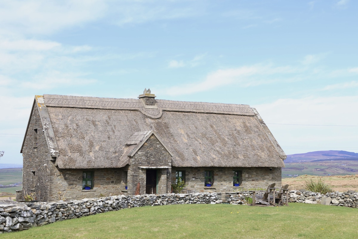 Enclosure in Coolnatullagh (burren By., Carran Par.)Enclosure · 385 yd
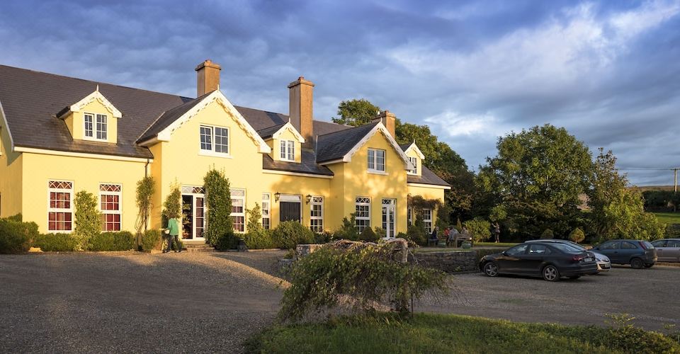 Dermot & Grania's BedArchaeological place · 489 yd
 Cappagh CastleCastle · 1.1 mi
 MacDuagh's BedRuins · 1.2 mi
 St. MacDuachs Church (in ruins)Church · 1.2 mi
 Grave of Saint Mac Duagh's ServantArchaeological place · 1.4 mi
 Kilnaloone GraveyardArchaeological place · 1.5 mi
 Glencolumbkille CastleCastle · 1.8 mi
 Turlough HillMountain / peak · 2.5 mi
 Corcomroe AbbeyVisitor information · 3.9 mi
 Corcomroe Abbey Geopark SiteVisitor information · 3.9 mi
 Battle of Lough Raskabattle · 4.1 mi