What is recorded here
In lowlying, wettish pasture, located on an elevation 10m NW of Brusna River. Very good views.
Not shown on the 1837-8 OS 6-inch map, but shown on the 1922 edition as a hachured penannular area, open to SW. This appears to be a natural rise which has been modified to create an enclosure. It is evident as a large, roughly ovoid raised area (c. 50m N-S; c. 78m E-W), narrowest at W end, defined in a broad, shallow curve NW−NE by a substantial scarp (H 3.4m to N); to E the scarp is linear with a vertically cut on the external face, and it peters out markedly to SE. On the S side there is a broad, low slope or levelled scarp. A rim of raised interior (Wth 6-11m) survives inside the scarp NW−E, from which there is a marked drop in internal ground level, becoming a gentler slope towards the S perimeter. The narrow W end of the site is at a lower level, scarped to a terrace-like feature (11.6m N-S; 14m E-W) defined by a slightly raised internal rim. Although much of the interior is now obscured under long grass, the marked changes in level and generally uneven surface appear to be the result of past quarrying activity.
A few meters to E a substantial linear bank of earth and stone flanks the Brusna River. This is relatively recent upcast from dredging the river.
There is a moated site (MA031-037----) 120m to NE on the opposite bank of the river.
Compiled by: Jane O'Shaughnessy
Date of upload: 29 June 2018
The monument record does not grant public access. Check the route and ask the landowner before entering private land.
- What survives
- Recorded monument
Places near here
 IndicatedFairy fort / earthen ringfort · 1.0 mi
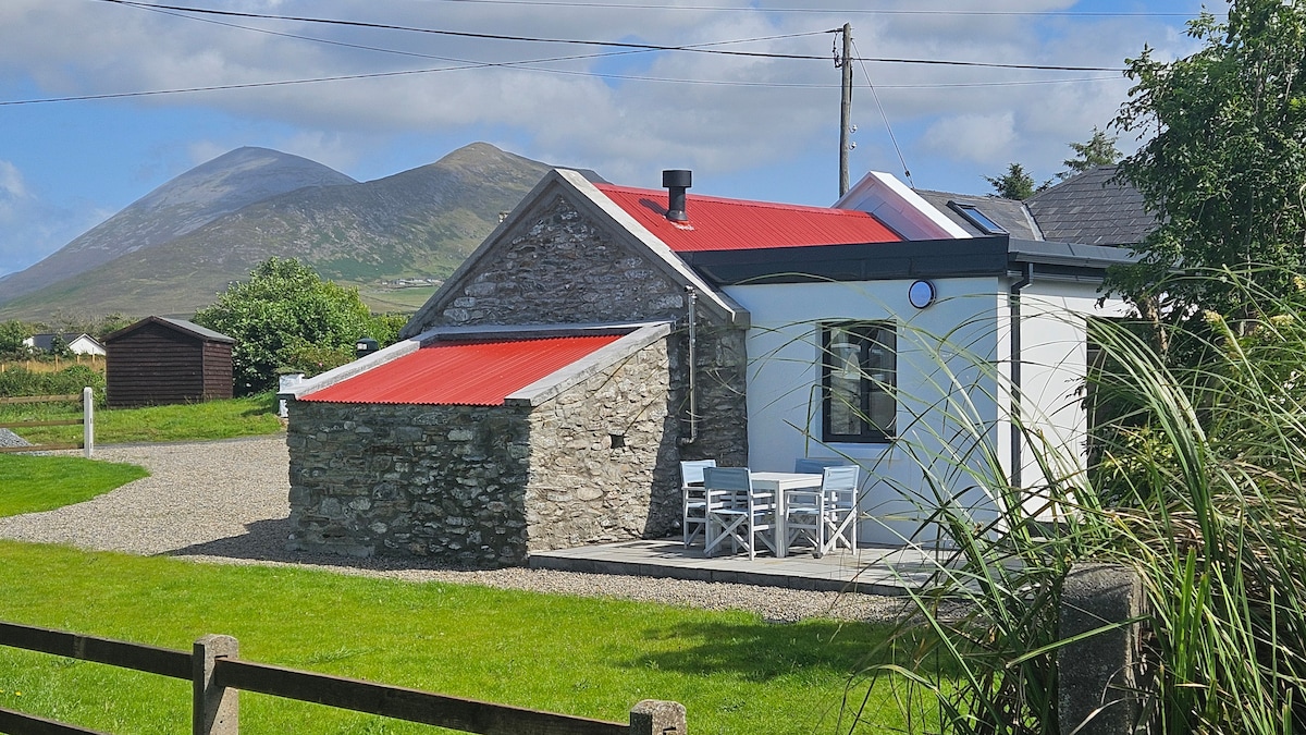 Enclosure in CloontaEnclosure · 1.5 mi
 Penitential station in RathreedaunPenitential station · 2.1 mi
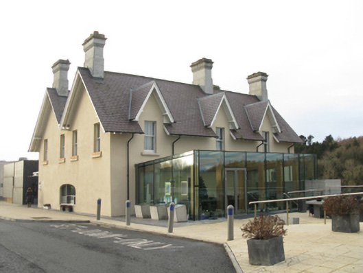 The Ice Housebuilding misc · 2.1 mi
 Belleck CastleCastle, unclassified · 2.2 mi
 FloretteWreck · 2.3 mi
 The Marshall Doran CollectionGallery · 2.4 mi
 Belleek WoodsWood · 2.5 mi
 Humbert MonumentMemorial · 2.7 mi
 CastleCastle, unclassified · 3.0 mi
 Rinphilip PointHeadland · 3.1 miBattle of Ballinabattle · 3.2 mi