What is recorded here
In pasture on an E-facing slope in pasture. A subcircular enclosure (overall diam. c. 42m) visible as a cropmark on satellite imagery with possible entrance to SE.
The following image is uploaded:
CL056-104----_01.jpg Google Earth image taken 20 March 2020.
Compiled by: Mary Tunney
Date of upload: 16 September 2020
The monument record does not grant public access. Check the route and ask the landowner before entering private land.
- What survives
- Recorded monument
Places near here
 LisluinaghanFairy fort / earthen ringfort · 1.3 mi
 Church in TullaherChurch · 1.5 mi
 LisroeFairy fort / earthen ringfort · 1.5 mi
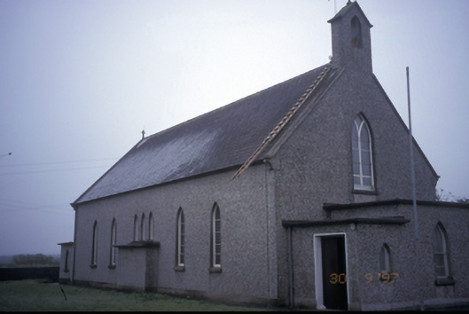 Saint Senan's Catholic Churchchurch/chapel · 1.6 mi
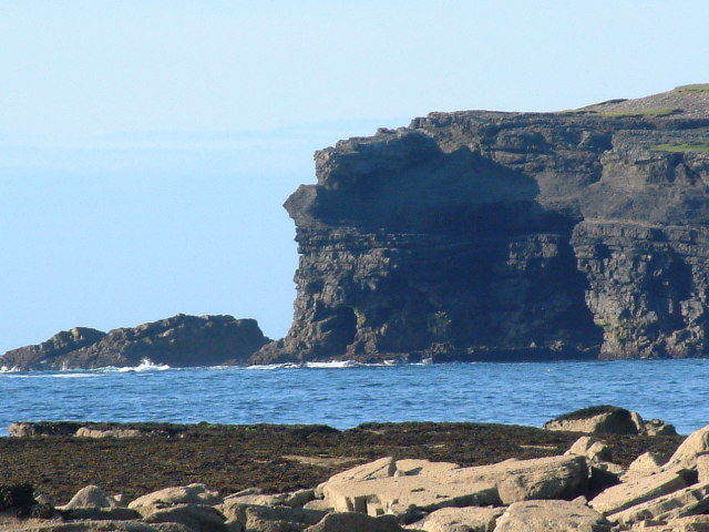 George's HeadHeadland · 1.7 mi
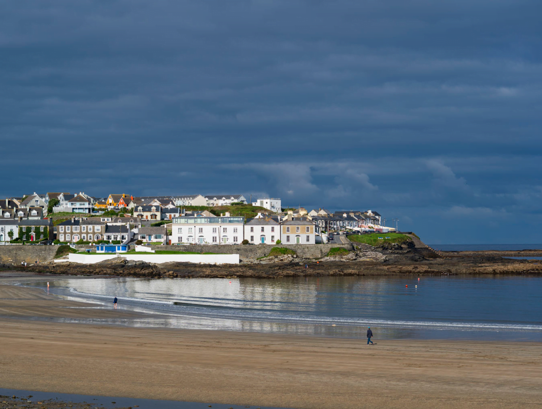 Castle (Site of)Castle, tower house · 2.2 mi
 Diamond RockHeritage attraction · 2.3 mi
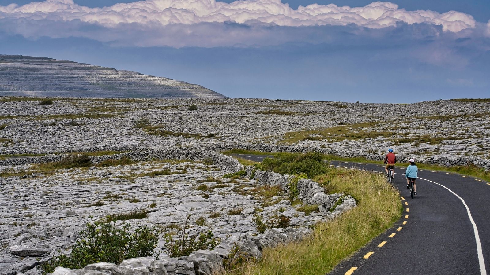 CarrichnaclearaHeadland · 2.7 mi
 Kilkee CliffsViewpoint · 2.9 mi
 IllaunawhillaIslet · 3.1 mi
 Bishop's IslandIslet · 3.5 mi
 White StrandBeach / strand · 4.3 mi