What is recorded here
Coolnatullagh enclosure is a C-shaped stone ring thirty metres wide at the valley’s south-west end, built into a field system and occupied during the Bronze Age. It was one of three farmsteads in the valley, suggesting a small settled community rather than a passing ritual site. The nearby cairns have yielded dates from 2460 to 1610 BC, tying the place to generations of burial and renewal. The mound walls still stand with occasional uprights poking through, as if the farm never fully let go.
Situated at the SW end of the Coolnatullagh valley. A C-shaped enclosure (diam. c. 30m) defined by substantial mound walls set within a field system (CL006-044003-) also defined by mound walls. The tops of occasional uprights are visible through the mound wall. This forms part of a farmstead, one of three prehistoric farmsteads in the valley (see also CL006-098002- and CL006-144----). Three cairns are closely associated with the farm including one that has been excavated (CL006-044001-), producing dates of 2460-2140 BC from a central cist and 1880-1610 BC from a secondary inhumation. (Carey 2008, 57; Jones et al. 2011, 41)
Compiled by: Mary Tunney
Date of upload: 16 May 2016
The monument record does not grant public access. Check the route and ask the landowner before entering private land.
- What survives
- Recorded monument
Places near here
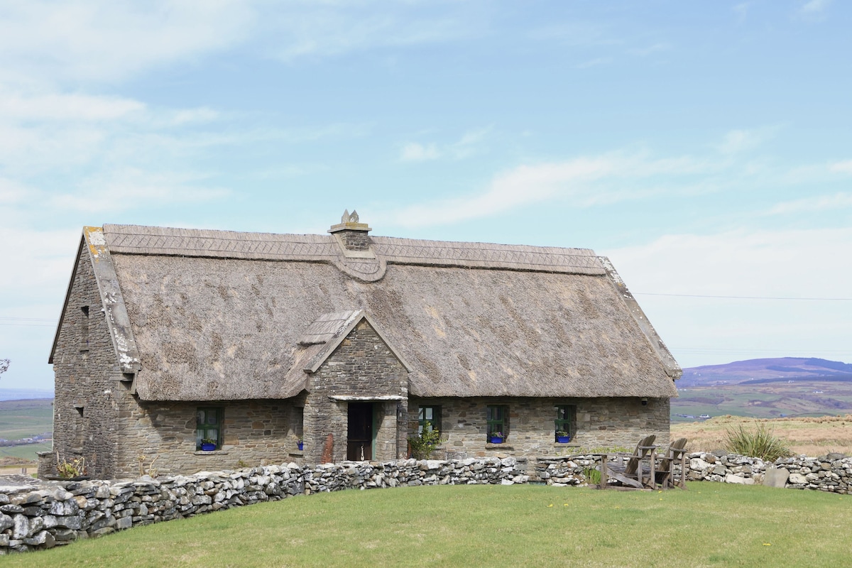 Enclosure in Coolnatullagh (burren By., Carran Par.)Enclosure · 526 yd
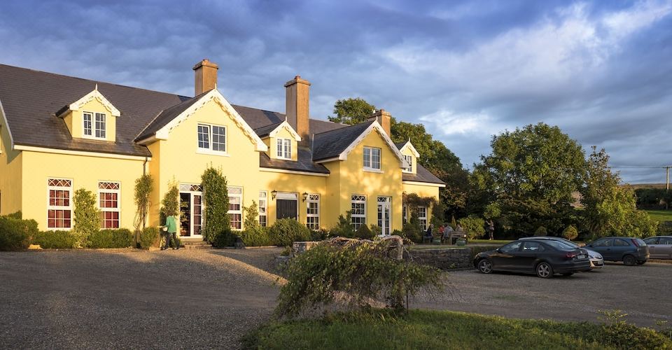 Dermot & Grania's BedArchaeological place · 590 yd
 Cappagh CastleCastle · 1.1 mi
 Kilnaloone GraveyardArchaeological place · 1.4 mi
 MacDuagh's BedRuins · 1.6 mi
 St. MacDuachs Church (in ruins)Church · 1.6 mi
 Glencolumbkille CastleCastle · 1.7 mi
 Grave of Saint Mac Duagh's ServantArchaeological place · 1.8 mi
 Turlough HillMountain / peak · 2.7 mi
 Corcomroe AbbeyVisitor information · 4.1 mi
 Corcomroe Abbey Geopark SiteVisitor information · 4.1 mi
 Battle of Lough Raskabattle · 4.2 mi