
What is recorded here
Located at the N end of a slight N-S ridge. This is a raised rectangular grass and scrub-covered area (dims. 33m NW-SE; 29m NE-SW) defined by an earthen bank (Wth 4m; int. H 0.3m; ext. H 1.9m) and outer fosse (Wth 3m; D 0.5m) at SE, and a scarp at SW. There is a straight NE-SW field bank at NW and a straight NW-SE field bank at NE with no evidence of the monument beyond these features, which probably truncate the rath to some extent.
The above description is derived from the published 'Archaeological Inventory of County Wexford' (Dublin: Stationery Office, 1996). In certain instances the entries have been revised and updated in the light of recent research.
Compiled by: Michael Moore
Date of upload/revision: 16 August, 2013
A local fairy fort (ringfort/rath); wider significance not recorded.
The monument record does not grant public access. Check the route and ask the landowner before entering private land.
- What survives
- Recorded monument
Places near here
 Saint Paul's Church (Kilcavan)church/chapel · 947 yd
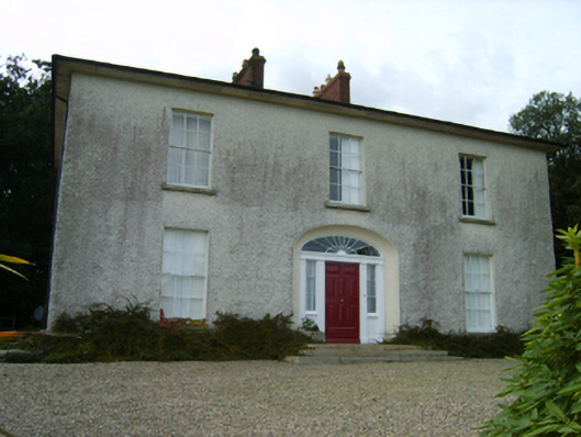 Balloughton Housefarm house · 1018 yd
 Coolhull CastleHouse, fortified house · 1214 yd
 Font (present location) in DanescastleFont (present location) · 1587 yd
 St. Cavans WellHoly well · 1622 yd
 Carrig-On-BannowVisitor information · 1680 yd
 1798 MemorialMemorial · 1737 yd
 Danes Castle (in ruins)Castle, tower house · 1.0 mi
 Cullenstown StrandBeach / strand · 1.9 mi
 Ballymadder PointHeadland · 2.5 mi
 Blackhall StrandBeach / strand · 2.6 mi
 Bridges ChamberCave · 2.8 mi
Other information
Photo: Credit not shown in the picture search · Rights wording not checked; contact us if this picture should be removed