What is recorded here
Situated in pasture, immediately N of a river which forms townland boundary with Coolrain. Outline of circular shaped area (approx. diam. 20m) defined by a fosse visible on Google Earth orthoimage and on Digital Globe orthophoto taken 2011-13.
See attached Google Earth orthoimage taken 30/11/2009
Compiled by: Caimin O'Brien based on details provided by Jean-Charles Caillère
Date of upload: 12 November 2020
The monument record does not grant public access. Check the route and ask the landowner before entering private land.
- What survives
- Recorded monument
Places near here
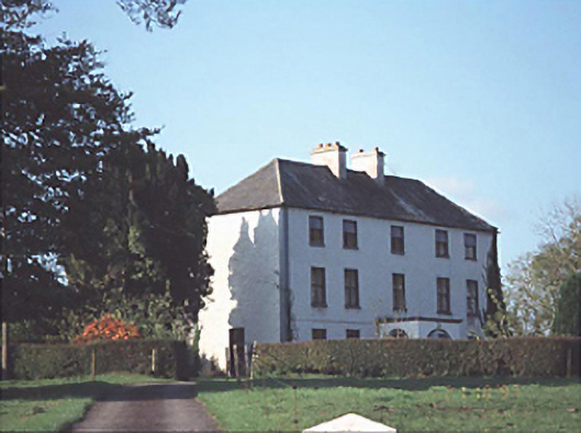 Shanderry Househouse · 1432 yd
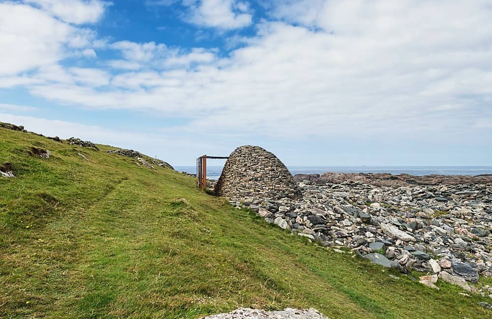 Enclosure in AnnaghEnclosure · 1550 yd
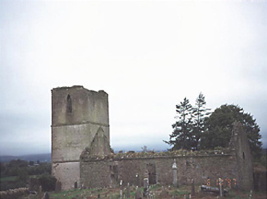 Anatrim Church (Offerlane)church/chapel · 1.1 mi
 Enclosure in Clonoghil (upperwoods By.),rossnaclonagh OutsideEnclosure · 1.2 mi
 Mondrehid CastleCastle, tower house · 1.9 mi
 Derrin Castle (in ruins)Castle · 2.7 mi
 Sweet ChestnutSweet Chestnut · 3.5 mi
 ArderinMountain / peak · 4.9 mi
 FarbreagueMountain / peak · 5.5 mi
 European BeechEuropean Beech · 7.1 mi
 Millennium GardenMemorial · 8.1 mi
 Roscrea Petty Sessions HouseHeritage attraction · 8.8 mi