What is recorded here
In low-lying pasture. Oval area (8m E-W; 4.5m N-S) defined by scarped edge (H 0.5m; Wth 4m), with external fosse (D 0.15m; Wth 4m) SE->NE, and external bank SSW->NE (H 0.2m; Wth 2m). Outer bank has been quarried in places, especially to NW, leaving a series of low undulations around perimeter of site.
Compiled by: Denis Power
Date of upload: 26 August 2011
The monument record does not grant public access. Check the route and ask the landowner before entering private land.
- What survives
- Recorded monument
Places near here
 Fulacht fia in BaunreaghFulacht fia · 864 yd
 Ballycullen Housecountry house · 1020 yd
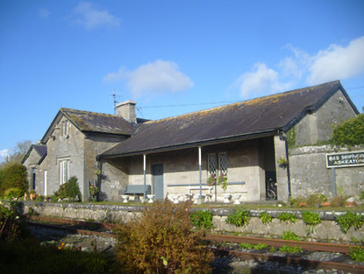 Askeaton Railway Stationrailway station, water tower, water pump · 1268 yd
 Askeaton CastleHeritage attraction · 1.1 mi
 AskeatonHistoric town · 1.2 mi
 Lismakeery Castle (in ruins)Castle, tower house · 1.2 mi
 Tomdeely CastleCastle · 1.6 mi
 Holly IslandIslet · 1.8 mi
 Herring RockNamed rock · 3.7 mi
 Tummera LittleIslet · 3.7 mi
 Aughinish PointHeadland · 4.1 mi
 Foynes Flying Boat & Maritime MuseumMuseum · 4.9 mi