What is recorded here
On a broad NE-SW ridge in unreclaimed hazel scrub. Hachured as a rath on the 1840 and 1920 OS 6-inch maps. On the Cassini (1920) edition it is shown as truncated by the NE-SW townland boundary between Cloona and Ballycullinan. Listed as ‘Enclosure’ in the SMR (1992) and the RMP (1996). On inspection in 1999 it was too densely overgrown to establish the existence or otherwise of an archaeological monument.
Compiled by: Mary Tunney
Date of upload: 1 December 2025
The monument record does not grant public access. Check the route and ask the landowner before entering private land.
- What survives
- Recorded monument
Places near here
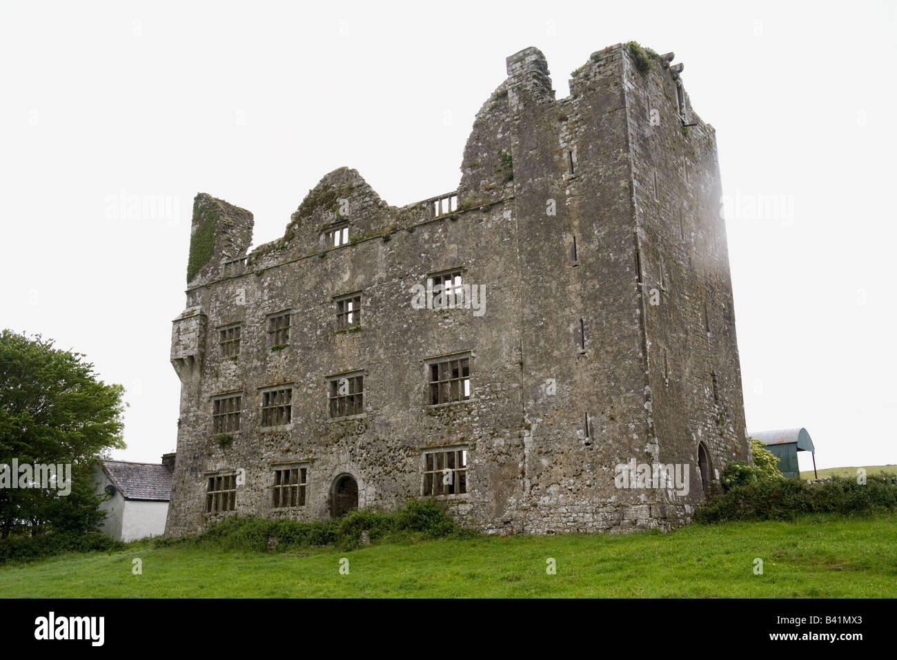 IndicatedFairy fort / stone ringfort · 845 yd
 Kilkee Castle (Site of)Castle, unclassified · 1127 yd
 Enclosure in KilleenanEnclosure · 1437 yd
 Bawn in Dysert (inchiquin By.)Bawn · 1501 yd
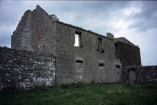 Mollaneen Housefarm house · 1528 yd
 Wall monument in MollaneenWall monument · 1752 yd
 Battle of TullyodeaBattlefield · 2.0 mi
 Ballygriffy WoodWood · 2.0 mi
 Rock IslandIsland · 2.9 mi
 Inchiquin IslandIslet · 2.9 mi
 Ardcarney WoodWood · 3.1 mi
 Fergus River CaveCave · 5.0 mi