What is recorded here
In improved pasture, on a gentle E-facing slope. Monument identified during ASI fieldwork. An oval area (dims. 21m NE-SW; 17m NW-SE) defined by scarp (Wth 3.6m; H 2.45m) and outer fosse (Wth 7.5m; D 0.4m) NNW-NE. The scarp is best preserved from SW-NE and has been further levelled (Wth 5.3m; H 0.25m) from NE-SW. A field boundary (long axis NNW-SSE) truncates the presumed arc of the fosse SW-NW. The interior has a gentle E-facing slope. The enclosure is depicted on the 1904 edition OS 6-inch map as an arc of hachures W-N and is truncated by a field boundary across the S and W sectors. According to local information, this is regarded as a 'fort'.
Compiled by: Jean Farrelly
Date of upload: 24 October 2013
The monument record does not grant public access. Check the route and ask the landowner before entering private land.
- What survives
- Recorded monument
Places near here
 LisnaboolaEnclosure · 277 yd
 Enclosure in ClonmorewalkEnclosure · 389 yd
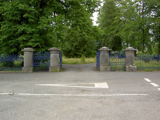 Greenane Housegates/railings/walls · 1088 yd
 Old CastleRuins · 1090 yd
 Friarsfield Househouse · 1253 yd
 Shanbally fortCastle, ringwork and bailey · 1687 yd
 Soloheadbeg Ambush SiteMemorial · 1.0 mi
 Soloheadbeg Ambushambush · 1.3 mi
 I.R.A. 3rd. Tipperary Brigade MemorialMemorial · 1.8 mi
 It's a long way to TippereryHeritage attraction · 2.2 mi
 European ashEuropean ash · 2.3 mi
 Bansha ForestForest · 4.3 mi