What is recorded here
Aerial photograph (GB89.Z.02) shows cropmark (diam. c. 45m) of a curvilinear enclosure defined by two concentric fosses. A ring-ditch (KK013-138----) is located immediately to the south of the enclosure.
Compiled by: Dr. Gillian Barrett for the Archaeological Survey of Ireland
Date of upload: 8 May 2012
The monument record does not grant public access. Check the route and ask the landowner before entering private land.
- What survives
- Recorded monument
Places near here
 Clomantagh Church (in ruins)Church · 294 yd
 Enclosure in Clomantagh LowerEnclosure · 378 yd
 Sheela-na-gig in Clomantagh LowerSheela-na-gig · 397 yd
 CastleCastle, tower house · 398 yd
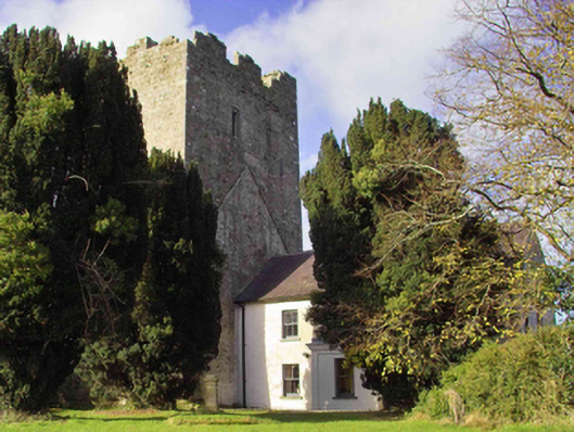 farm housefarm house · 441 yd
 Tubbrid Castle (in ruins)Castle, tower house · 1426 yd
 Clomantagh HillMountain / peak · 1.6 mi
 Kildrinagh WoodForest · 2.1 mi
 John HelyMemorial · 3.5 mi
 DelaneyMemorial · 3.6 mi
 Street fieldArchaeological place · 4.6 mi
 Anker's IslandIsland · 8.1 mi