What is recorded here
This was one of three enclosures identified as cropmarks on a Cambridge oblique aerial photographs taken 11/07/1969 (CUCAP, BDR029; BDR030; AVS035; AVS036; AYP054). It was sub-circular in plan (dims.30m E-W; 42m N-S). A 'tadpole' shaped cropmark located eccentrically within the enclosure may be the remains of a levelled Man-made underground passage (DU014-014003-). Not visible at ground level. Built over by the North Western Business Park.
Compiled by: Caimin O'Brien
The monument record does not grant public access. Check the route and ask the landowner before entering private land.
- What survives
- Recorded monument
Places near here
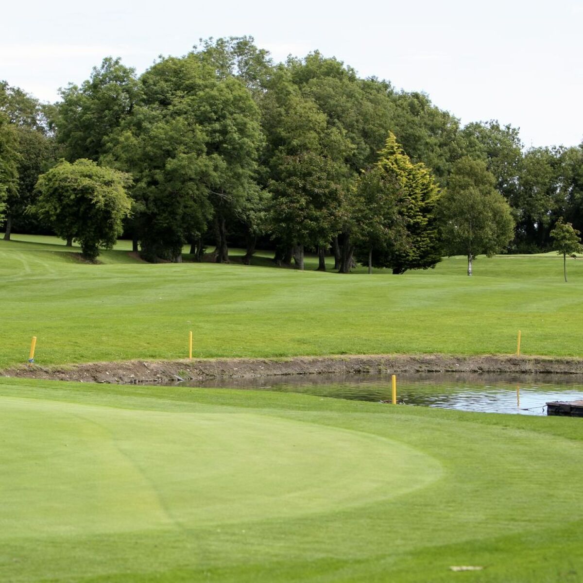 Enclosure in Cloghran (castleknock By.)Enclosure · 44 yd
 Ring-ditch in Cloghran (castleknock By.)Ring-ditch · 411 yd
 Church in Cloghran (castleknock By.)Church · 583 yd
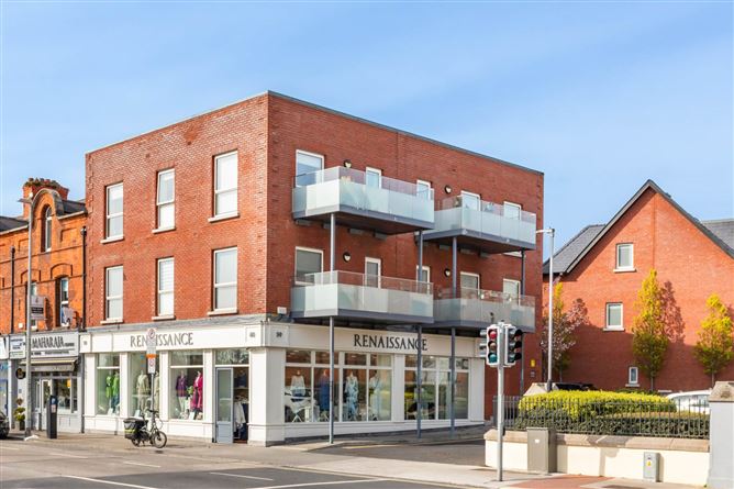 ChurchfieldChurch · 1632 yd
 Site of CastleCastle, tower house · 1.2 mi
 Depicted Kilshane MoatCastle, motte · 1.5 mi
 Graveyard in BuzzardstownGraveyard · 1.5 mi
 TyrrelstownWood · 1.8 mi
 Blanchardstown Centre information deskVisitor information · 2.1 mi
 Liam Ó MaoilíosaMemorial · 2.2 mi
 Wesley's WoodsWood · 3.5 mi
 BallymunVisitor information · 3.7 mi