What is recorded here
On a slight rise in undulating karst landscape. A circular enclosure is hachured on the 1840 and the 1921 OS 6-inch maps. The enclosure is not visible at ground level. Some spoil mounds and islands of undisturbed karst exist at this location.
Compiled by: Michael Moore
Date of upload: 25 April 2017
The monument record does not grant public access. Check the route and ask the landowner before entering private land.
- What survives
- Recorded monument
Places near here
 Enclosure in DrumcliffEnclosure · 1009 yd
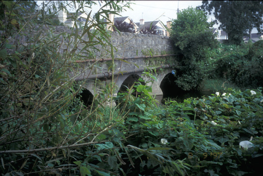 Claureen Bridgebridge · 1015 yd
 IndicatedFairy fort / stone ringfort · 1263 yd
 Church (in ruins)Church · 1275 yd
 Post Office FieldNature reserve · 1.1 mi
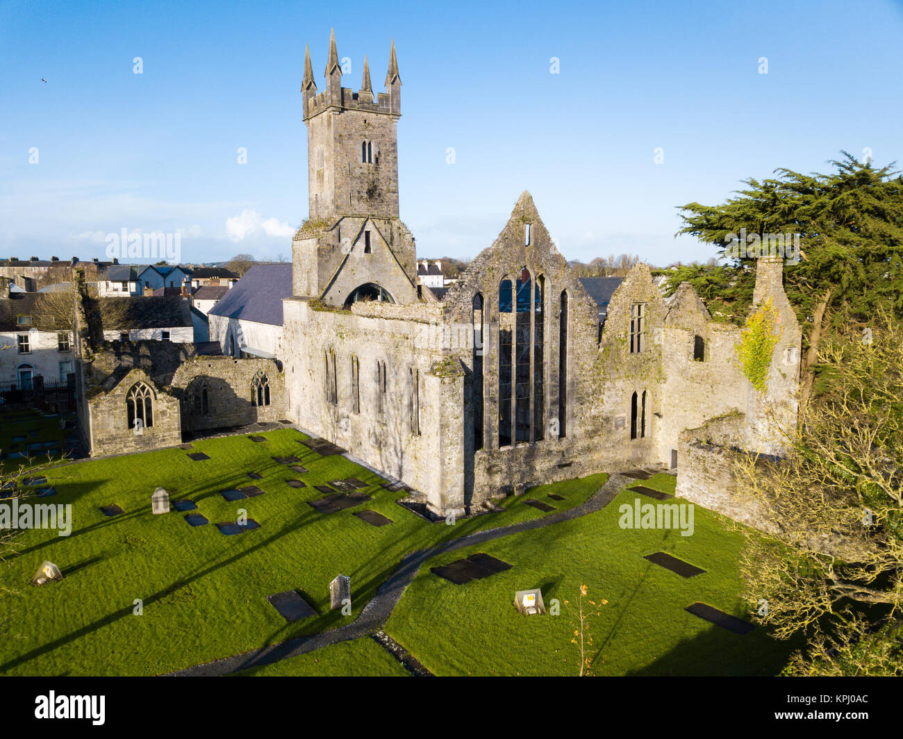
 Ennis AbbeyMuseum · 1.2 mi
 Clare MuseumMuseum · 1.3 mi
 CastleCastle, tower house · 1.3 mi
 Poul na gollorCave · 2.3 mi
 Shallee Castle (in Ruins)Castle, tower house · 2.3 mi
 Alice and Gwendoline CaveMuseum · 2.8 mi
 Rockmount WoodWood · 2.8 mi