What is recorded here
On a SE-facing slope of a hill in quarry, with the surrounding land under meadow. The monument was identifed as an enclosure on an aerial photograph (Air Corps v.311/2963-4) which shows it as being transected by a NW-SE field boundary. A roadway was constructed along the E side of this field boundary to provide access to a quarry. The larger area occupied by the enclosure W of the field boundary has been quarried out. The quarry is no longer operational.
Compiled by: Jean Farrelly
Date of upload: 26 August 2011
The monument record does not grant public access. Check the route and ask the landowner before entering private land.
- What survives
- Recorded monument
Places near here
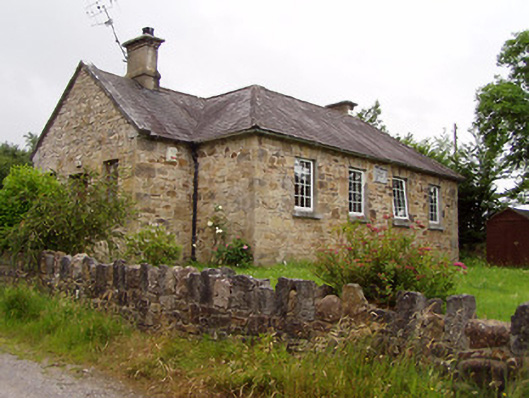 Ardane National Schoolschool · 760 yd
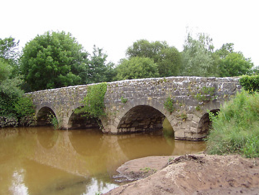 Ashgrove Bridgebridge · 843 yd
 Site of St.Berriherts Church; Grave YardChurch · 948 yd
 CrossCross, High cross · 954 yd
 Ballydavid WoodWood · 2.2 mi
 Bansha ForestForest · 2.3 mi
 SturrakeenMountain / peak · 2.3 mi
 Bansha CastleCastle · 2.3 mi
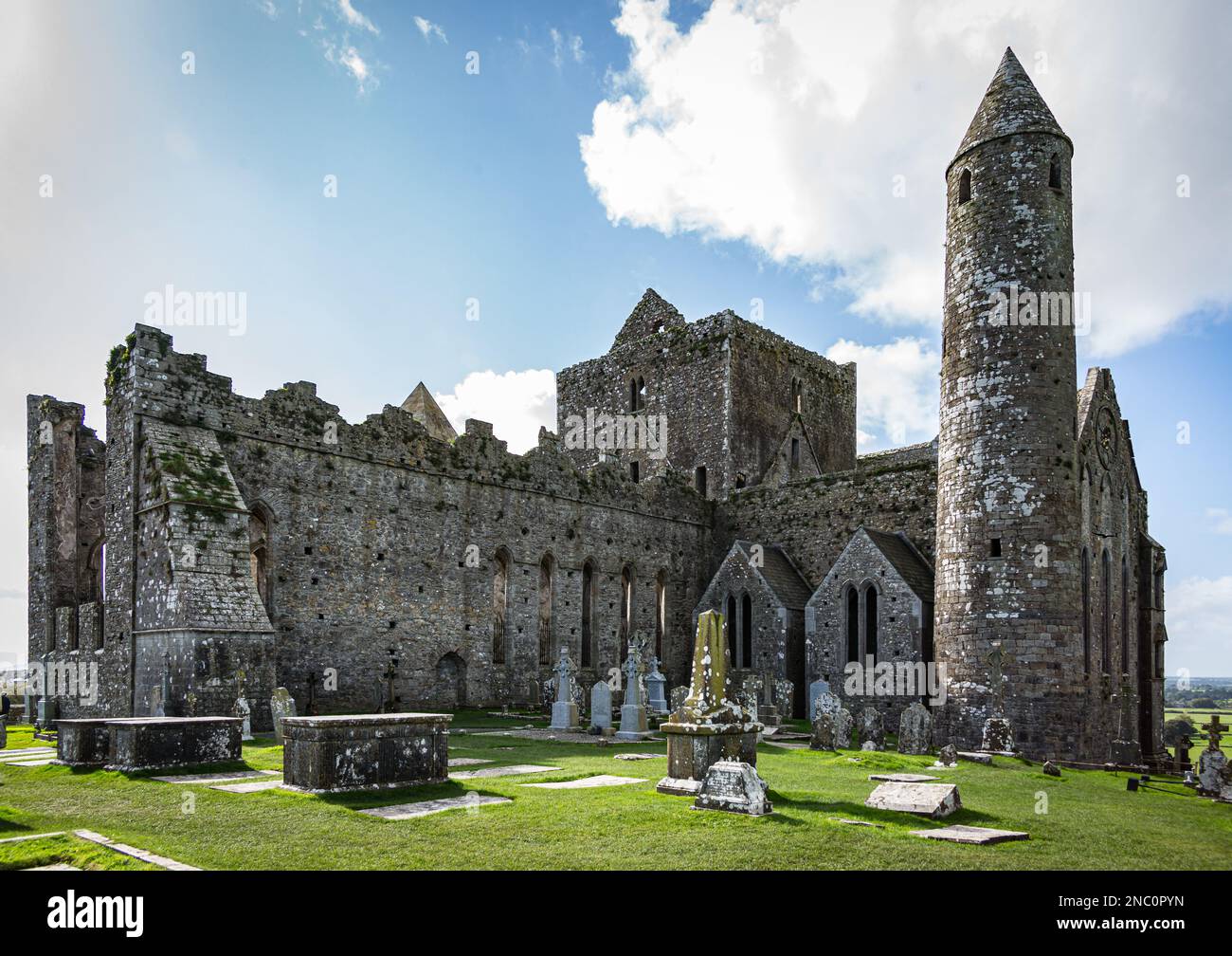 KnockastakeenMountain / peak · 2.4 mi
 Cappa Castle (in ruins)Castle, tower house · 2.4 mi
 The RockViewpoint · 3.4 mi
 Christ the KingViewpoint · 3.6 mi