What is recorded here
Enclosure in Castletown (slievemargy By.) is a vanished circular boundary, forty metres across, in County Laois. It marked the heart of Ui Buidhe, the territory Strongbow gave Robert de Bigarz before 1176. The earth has swallowed the stones, but the shape remains in the land's memory, a quiet ring around the place where power first turned to law.
Castletown was the manorial centre of Ui Buidhe (Oboy), which was the pre-Norman territory given to Robert de Bigarz by Strongbow before 1176 (Orpen 1911-20, iii, 105). After 1245 it passed to William de Cantilupe and was obtained by John de Hastings in 1283. (Sweetman 1875-86, ii, no. 2107). In 1348 the Earl of Pembroke received 30s. yearly from the burgesses of Castletown and returns from the hundred of the town. (PRO1916, 128). There is no mention of Castletown after 1348 until the late-sixteenth century.
Circular enclosure (approx. diam c. 40m) indicated on current edition of the OS 6-inch map has been levelled with no surface remains visible (Urban Survey 1986, 20). Church site (LA026-011002-) and graveyard (LA026-011003-) located 170m to the N and motte and bailey(LA026-011001-) located 220m to the E.
Compiled by: Caimin O'Brien
Date of upload: 17 December 2007
The monument record does not grant public access. Check the route and ask the landowner before entering private land.
- What survives
- Recorded monument
Places near here
 Castletown Church (Killabban)church/chapel · 207 yd
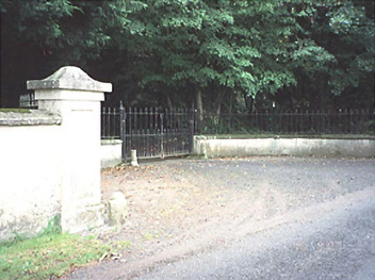 Castletown Houserectory/glebe/vicarage/curate's house · 227 yd
 MoatCastle, motte and bailey · 254 yd
 Enclosure in CoolanowleEnclosure · 1375 yd
 Enclosure in MaidenheadEnclosure · 1542 yd
 Ballylehane CastleCastle, unclassified · 1719 yd
 Pedunculate OakPedunculate Oak · 4.2 mi
 Killeshin ChurchVisitor information · 5.0 mi
 Neil HannonMemorial · 5.0 mi
 European Crab AppleEuropean Crab Apple · 5.0 mi
 DM PenderMemorial · 5.2 mi
 Kilgorey Old BurialVisitor information · 6.6 mi