What is recorded here
Half a circle of buried stone leans against the Liffey bank in Castlesize, using the river itself as its western wall. The missing edge suggests humans valued the water enough to stop building where the river began. Grass covers the rest, but the shape still points toward the entrance gap at the south-east, waiting for someone to walk the distance the builders never wasted.
Situated in grassland on the E bank of the River Liffey. Cropmark of semi-circular shaped enclosure (approx. dims. 35m N-S; 27m E-W) with possible entrance gap at SSE visible on Google Earth imagery taken 28/06/2018. The E bank of the River Liffey appears to form enclosing element of W side of monument in a similar fashion to cliff-edge forts.
See attached image taken from Google Earth
Compiled by: Caimin O'Brien based on details kindly provided by Chris Corlett
Date of upload: 29 November 2018
The monument record does not grant public access. Check the route and ask the landowner before entering private land.
- What survives
- Recorded monument
Places near here
 EnclosureEnclosure, large enclosure · 322 yd
 Enclosure in CastlesizeEnclosure · 561 yd
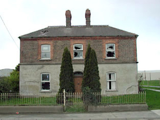 Home Farm Housemiller's house · 992 yd
 Sallins Bridgebridge · 1163 yd
 Sallins LodgeCastle, tower house · 1321 yd
 CastleCastle, tower house · 1.2 mi
 Naas ParkWood · 1.9 mi
 Monread District Park WoodsWood · 2.0 mi
 Poplar SquarePicnic place · 2.7 mi
 Athgoe HillMountain / peak · 6.9 mi
 Saint Finian's WellSpring · 7.2 mi
 Cupidstown HillMountain / peak · 7.7 mi