What is recorded here
Situated on slight W-facing slope in undulating pasture. Slightly raised, roughly rectangular area (dims. 27m N-S; 22m E-W) enclosed by a substantial bank of earth and stone (Wth 5.9m; int. H 0.4m). At the external foot of the bank from SW-NE are a berm (Wth 9m) and a substantial outer bank (Wth 7.4m; ext. H 1.35m). The bank turns at a right angle at SW and NE and links to the internal bank. The original entrance is not recognisable. The ground level of the interior has been raised and levelled to compensate for the natural slope of the external ground level. A house site (SL013-053002-) is located a short distance to E of centre of the interior.
Compiled by: Mark Keegan
Date of upload: 19 January 2011
The monument record does not grant public access. Check the route and ask the landowner before entering private land.
- What survives
- Recorded monument
Places near here
 Enclosure in ArdabroneEnclosure · 542 yd
 CastleCastle, Anglo-Norman masonry castle · 643 yd
 CaveMan-made underground passage · 647 yd
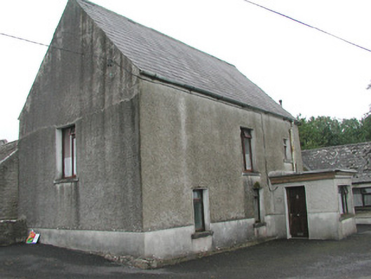 Stand Househouse · 833 yd
 Saint Adamnan's Catholic Churchchurch/chapel · 1105 yd
 Dunmoran StrandBeach / strand · 1.5 mi
 Bawn in CarrowbrickeenBawn · 1.6 mi
 Derkmore PointHeadland · 2.2 mi
 Aughris BeachBeach / strand · 2.3 mi
 Giant's GraveArchaeological place · 2.5 mi
 Valley WoodForest · 2.9 mi
 Lahanacappul IslandIslet · 2.9 mi