What is recorded here
Situated on slight S-facing slope in pasture. Raised roughly circular area (dims. 35m N-S; 32m E-W) enclosed by a scarp of earth and stone (ext. H 0.6m). There is no fosse visible at ground level. From SW-NE, the approximate edge of the enclosure is defined by an up-cast earth and stone bank derived from the extensive quarrying in the interior. The scarped edge has been extensively disturbed on all sides by small quarry holes NE- SW. The original entrance to the site is not recognisable. The NW third of the interior has been quarried out with the base of the quarry hole is 0.5m below the SE two-thirds of the interior.
Compiled by: Mark Keegan
Date of upload: 19 January 2011
The monument record does not grant public access. Check the route and ask the landowner before entering private land.
- What survives
- Recorded monument
Places near here
 Enclosure in ArdabroneEnclosure · 572 yd
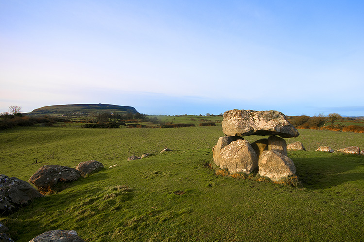 Megalithic structure in CarrowgilhoolyMegalithic structure · 746 yd
 Saint Adamnan's Catholic Churchchurch/chapel · 1.0 mi
 Bawn in CarrowbrickeenBawn · 1.1 mi
 BawnmoyleRuins · 1.1 mi
 CastleCastle, Anglo-Norman masonry castle · 1.2 mi
 Giant's GraveArchaeological place · 1.7 mi
 Derkmore PointHeadland · 1.9 mi
 Lahanacappul IslandIslet · 2.1 mi
 Portavaud PointHeadland · 2.2 mi
 Dunmoran StrandBeach / strand · 2.3 mi
 Valley WoodForest · 2.4 mi