
What is recorded here
Located on a terrace on a N-facing slope, in parkland formerly part of the Cleveragh Estate, on the SE side of Sligo Town. To S ground rises in a steep, wooded slope; to N-NE there is a gradual fall of ground towards the Garvoge River, through an area that now constitutes a public park.
This enclosure is not shown on the 1838 and 1940 OS 6-inch maps, but is indicated on the 25-inch plan as a D-shaped hachured area (c. 35m NW–SE; c. 20m NE–SW), bordered on the straight side at SW by a NW–SE field boundary. This boundary is extant, consisting of a high estate wall, which now marks the S limits of the public park. On the ground, there is slight evidence that the enclosure extends to SW of the wall, and may in fact be circular (diam. c. 35m), bisected roughly centrally by the wall.
A low, D-shaped platform (30-35m E–W; c. 20m N-S; H c. 0.8m at NW) is evident, corresponding with the hachured area shown on the 25-inch map. It is almost entirely engulfed in overgrowth, and cannot be fully examined. It is possible that low undulations visible on the NW arc may represent an enclosing fosse (Wth c. 2.5m) with an external bank (Wth 2m). The straight SW side of the D-shaped platform is defined by the high, mortared stone wall (Wth 0.5-0.6m; H 1.7m), corresponding with the NW–SE boundary shown on the 25-inch plan. Immediately to SW of the wall, a roughly semicircular area (c. 30-35m E–W; c. 15m N-S) of differential vegetation growth, with traces of a possible irregular bank on the W arc, may represent the SW half of the originally circular enclosure.
Attached images:
SL014-301----_01.JPG NE half of enclosure, viewed from E
SL014-301----_02.JPG NE half of enclosure, viewed from N
SL014-301----_03.JPG area to SW of boundary wall, viewed from E
Compiled by: Jane O'Shaughnessy
Date of upload: 25 November 2019
The monument record does not grant public access. Check the route and ask the landowner before entering private land.
- What survives
- Recorded monument
Places near here
 Enclosure in Cleaveragh DemesneEnclosure · 540 yd
 Lest Sligo forgetsMonument · 553 yd
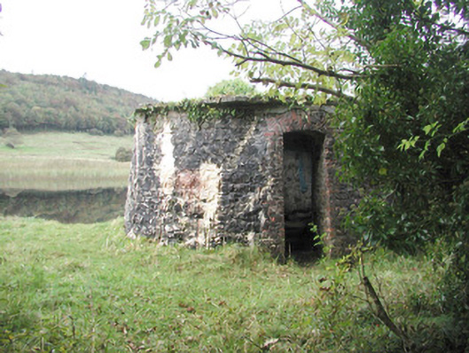 Hazelwood Housebuilding misc · 625 yd
 Tiffin's IslandWood · 824 yd
 Strawberry treeStrawberry tree · 1111 yd
 Bernard's IslandIslet · 1358 yd
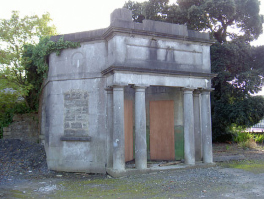 Sligo Cemeterygate lodge · 1482 yd
 Half Moon BayBay · 1517 yd
 Wolf IslandIslet · 1593 yd
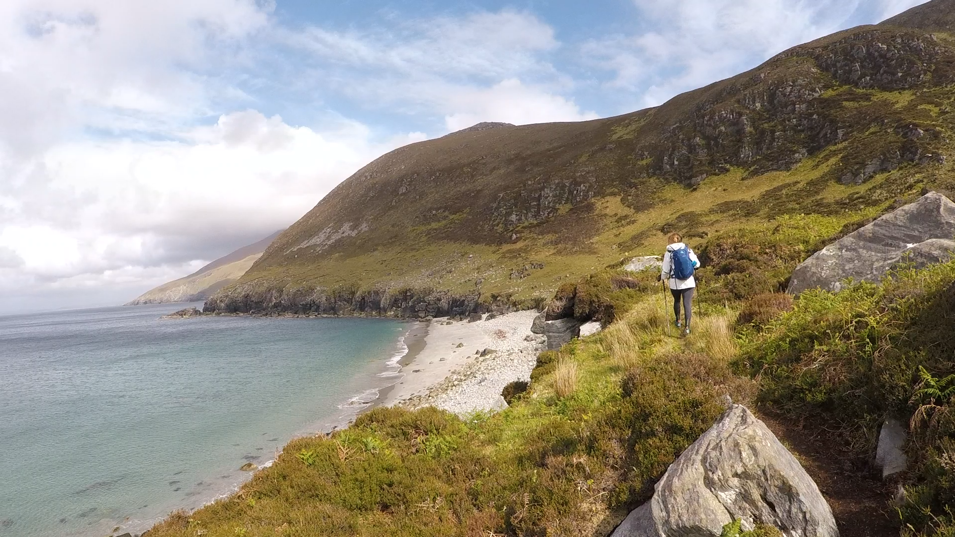 Annagh BayBay · 1630 yd
 Tobernalt Holy WellSpring · 1657 yd
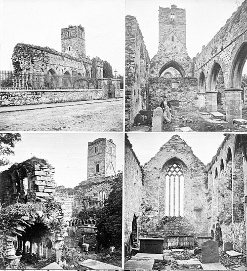 Sligo AbbeyMuseum · 1.3 mi
Other information
Photo: Credit not shown in the picture search · Rights wording not checked; contact us if this picture should be removed