What is recorded here
The official Northern Ireland record identifies this as ENCLOSURE. Recorded period: UNCERTAIN. The official map point was placed at the centre of the recorded archaeological site from the source map reference.
The monument record does not grant public access. Check the route and ask the landowner before entering private land.
- What survives
- Recorded monument
Places near here
 ENCLOSURE in BallylumminENCLOSURE · 1142 yd
 ENCLOSURE in CasheltownENCLOSURE · 1581 yd
 TullyMountain / peak · 1.3 mi
 Top WoodWood · 1.8 mi
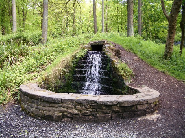 Portglenone ForestForest · 2.1 mi
 Masonic HallHall · 2.4 mi
 Trinity Presbyterian ChurchChurch · 2.5 mi
 CASTLE (site of): PORTGLENONE CASTLE in GarvaghyCASTLE (site of): PORTGLENONE CASTLE · 2.7 mi
 FORD across R. BANN & SITE OF BATTLE, 1689 (see also ANT 031:052 for opposite side of the river) in GlenoneFORD across R. BANN & SITE OF BATTLE, 1689 (see also ANT 031:052 for opposite side of the river) · 3.1 mi
 Seamus HeaneyMemorial · 4.0 mi
 MOTTE AND BAILEY: McQUILLAN'S CASTLE in GalgormMOTTE AND BAILEY: McQUILLAN'S CASTLE · 4.3 mi
 The Strand at Lough BegVisitor information · 4.4 mi