What is recorded here
In gently undulating, low-lying terrain, c. 40m S of River Aherlow, under pasture. Circular cropmark (diam. c. 30m) identified on aerial photograph (Air Corps V.311/2968-9). Low ridge runs E-W parallel to the river and terminates at another higher ridge running NE-SW. Enclosure not visible at ground level.
Compiled by: Jean Farrelly
Date of upload: 26 August 2011
The monument record does not grant public access. Check the route and ask the landowner before entering private land.
- What survives
- Recorded monument
Places near here
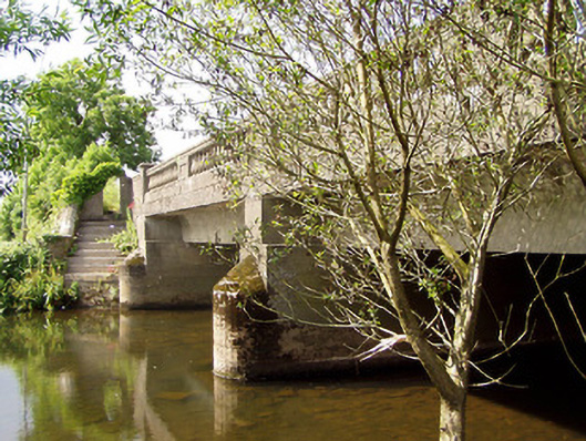 Cappa New Bridgebridge · 278 yd
 Enclosure in Ballymorris (killardry Par.)Enclosure · 601 yd
 Cappa Old Bridgebridge · 753 yd
 Enclosure in ToureenEnclosure · 1015 yd
 Caucasian zelkovaCaucasian zelkova · 1123 yd
 Cappa WoodWood · 1744 yd
 Cashlaunbeg (in ruins)Bawn · 1.3 mi
 Cappa Castle (in ruins)Castle, tower house · 1.3 mi
 Slieveanard NE TopMountain / peak · 2.0 mi
 SlieveanardMountain / peak · 2.3 mi
 Caher AbbeyHeritage attraction · 4.0 mi
 Siege of Cahir Castlesiege · 4.1 mi