What is recorded here
Immediately to the SW of a cashel (GA113-068001-). This roughly D-shaped enclosure (57m E-W; 54m N-S) is defined by two earth and stone banks and an intervening fosse. The outer bank and fosse are not visible along the N side. There is a causewayed entrance gap at S. Due to the presence of a large rubbish dump at NE, which obscures the monument, its exact relationship with the cashel is unclear.
Compiled by: Galway Archaeological Survey, UCG
Date of upload: 10 January 2017
The monument record does not grant public access. Check the route and ask the landowner before entering private land.
- What survives
- Recorded monument
Places near here
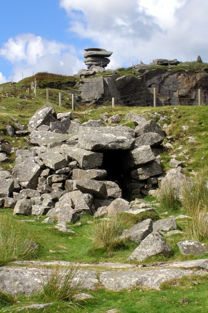 CaveMan-made underground passage · 57 yd
 Maryville Househouse · 296 yd
 Lackmacmahon Stone CrossCross · 755 yd
 Mine in CaherglassaunMine · 1.4 mi
 Drumharsna Castle (in ruins)Castle, tower house · 1.8 mi
 Drumharsna CastleHeritage attraction · 1.8 mi
 Ballymaquiff CastleCastle · 2.0 mi
 European BeechEuropean Beech · 2.2 mi
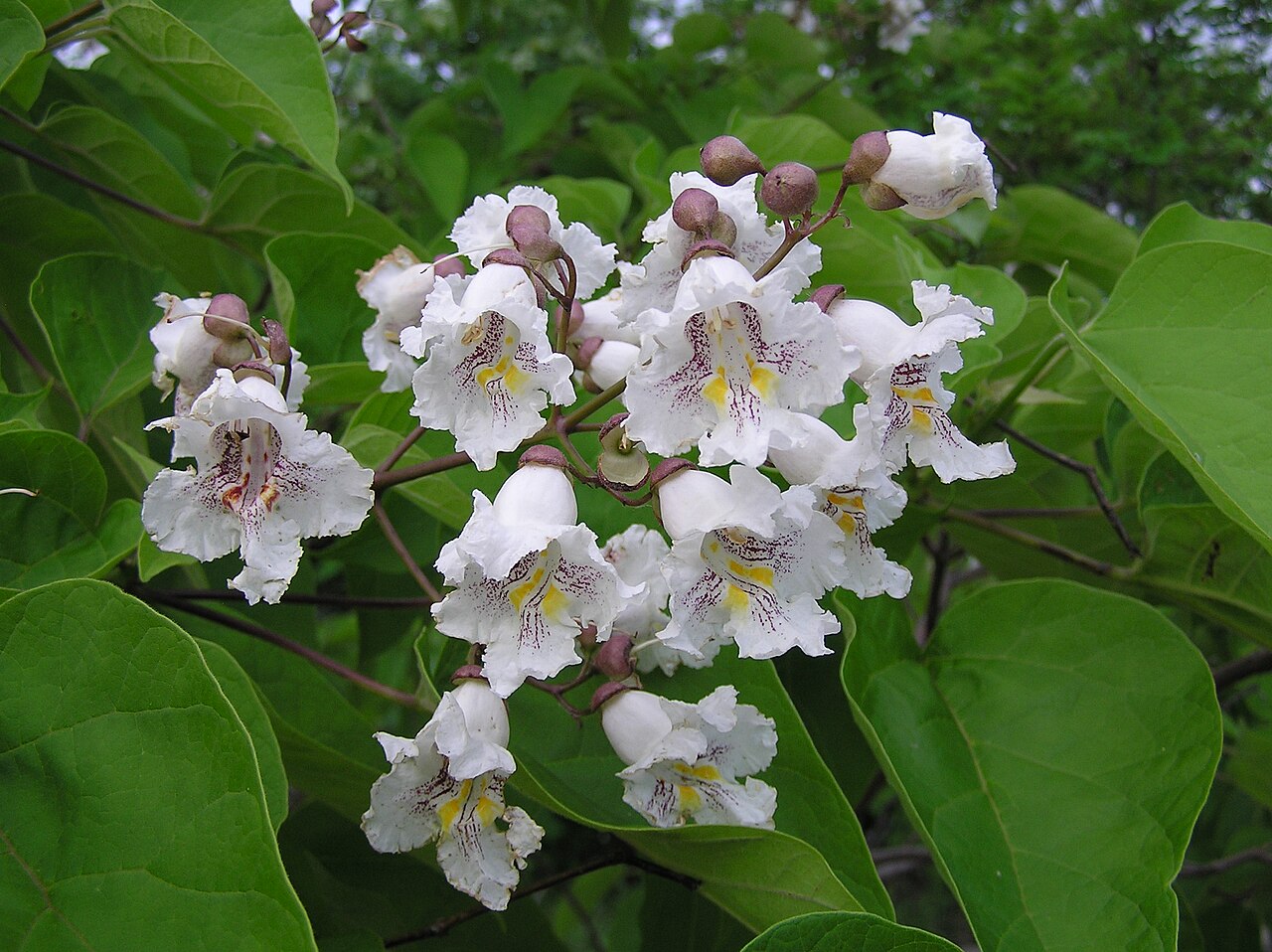 Southern catalpaSouthern catalpa · 2.2 mi
 Mulroney's IslandIslet · 4.0 mi
 Cusheen IslandIslet · 4.3 mi
 Traught BeachBeach / strand · 6.1 mi