What is recorded here
In mature forestry, currently being felled, on a gentle E-facing slope. Access not gained. Depicted on 1st (1840) and 2nd (1904) ed. OS 6-inch maps as circular enclosure (diam. c. 32m). Field boundary depicted at tangent to E on 1843 map and truncating E-sector on current map. No buffer zone in forestry noted from vantage point of Sheegouna. It is possible that this monument has been levelled and is the one described by Keatinge (1858-9, 11) as 'the site of another fort (but which is now levelled)'.
Compiled by: Jean Farrelly
Date of revised upload: 30 September 2014
The monument record does not grant public access. Check the route and ask the landowner before entering private land.
- What survives
- Recorded monument
Places near here
 SheegounaMountain / peak · 1.0 mi
 KnockahunnaMountain / peak · 1.2 mi
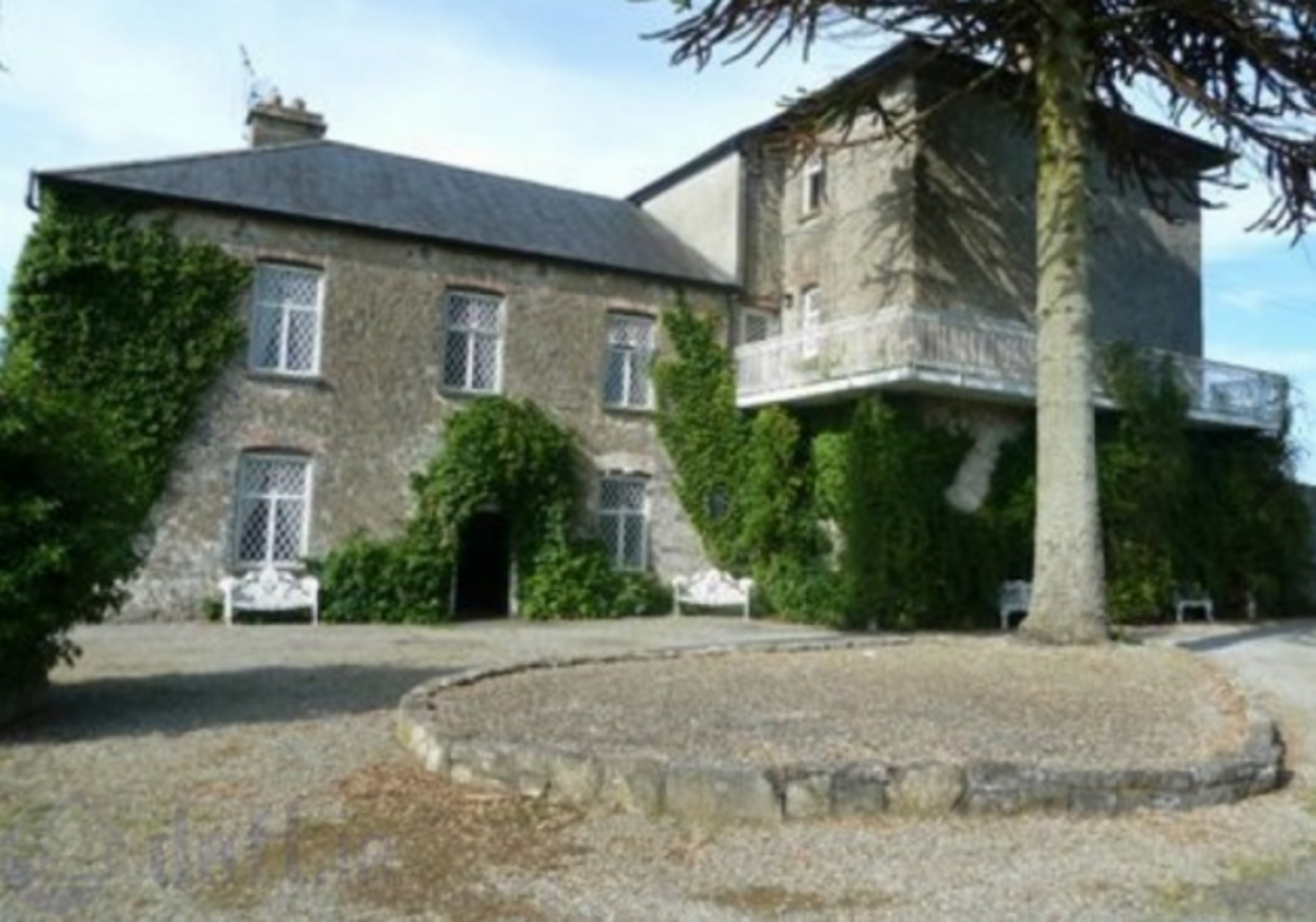 Enclosure in KnockrathkellyEnclosure · 1.6 mi
 Enclosure in MayladstownEnclosure · 1.8 mi
 Whitehall Bridgebridge · 1.9 mi
 Carrigaloe RockNamed rock · 2.2 mi
 Drummon Bridgebridge · 2.2 mi
 Kilcash WoodForest · 2.7 mi
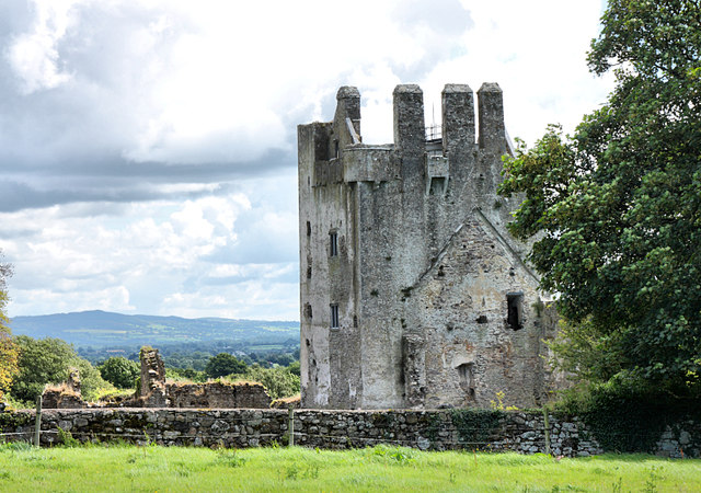 Bawn in KilcashBawn · 2.9 mi
 Kilcash Castle (in ruins)Castle, tower house · 2.9 mi
 The SpoutMemorial · 2.9 mi
 European ashEuropean ash · 3.0 mi