What is recorded here
Two circular cropmarks (see also CW017-054001-) visible on an aerial photograph taken by Michael Moore on the 21 July 1996 (MM (64) 0).
Compiled by: Claire Breen
Date of upload: 24 January 2012
The monument record does not grant public access. Check the route and ask the landowner before entering private land.
- What survives
- Recorded monument
Places near here
 Enclosure in BogganEnclosure · 93 yd
 Enclosure in SraghEnclosure · 1110 yd
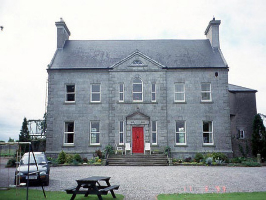 Sherwood Park Housecountry house · 1110 yd
 Altamont Gardens MapVisitor information · 1588 yd
 Altamont Housecountry house · 1604 yd
 Altamont House and GardensHeritage attraction · 1.0 mi
 Scots PineScots Pine · 1.0 mi
 Church (in ruins), GraveyardChurch · 1.6 mi
 Castlegrace MoatCastle, motte · 2.0 mi
 English hollyEnglish holly · 2.4 mi
 CastleCastle, motte and bailey · 4.1 mi
 Barragh Church (in ruins), GraveyardChurch · 4.2 mi