What is recorded here
In a shallow, natural basin (max dims. 100-150m) of rush-grown damp, boggy ground, surrounded by low, gently rising ridges. Views are rather restricted, most open from W to NNE. The Palmerstown River is located c. 300m to W. This enclosure is evident as a low, circular earthen platform (23m N−S; 22m E−W; H 0.4-0.5m), marked by a dense growth of rushes. The level top of the platform does not have a sharp break of slope but grades gently into sloping sides. Immediately outside the platform, there is a band (Wth 3-4m) of darker vegetation and rushes which is most sharply defined at SE−N but appears to fully encircle the platform. It probably indicates an enclosing fosse. There is a church (MA021-035001-) and graveyard (MA021-035002-) c. 350m to SW.
Compiled by: Jane O'Shaughnessy
Date of upload: 23 May 2015
The monument record does not grant public access. Check the route and ask the landowner before entering private land.
- What survives
- Recorded monument
Places near here
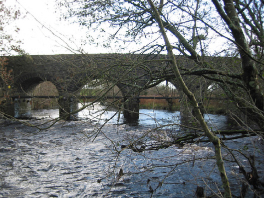 Tonrehown Bridgebridge · 548 yd
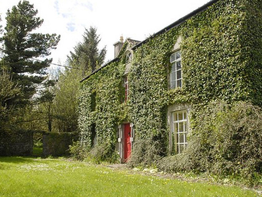 Smithstown Housefarm house · 566 yd
 RathnadiffFairy fort / earthen ringfort · 687 yd
 Tonrehown FortFairy fort / earthen ringfort · 756 yd
 Rathroe CastleCastle · 1.2 mi
 Bawn in FarraghBawn · 1.8 mi
 Battle of Killalabattle · 3.1 mi
 Green IslandIslet · 3.6 mi
 Rinnaun PointHeadland · 4.0 mi
 Lisheen Grave YardArchaeological place · 4.2 mi
 Battlefields of MoyneBattlefield · 4.3 mi
 Moyne AbbeyHeritage attraction · 4.8 mi