What is recorded here
On level grassland. Marked on OS 6-inch maps as a large tree-planted enclosure (c. 100m by c. 80m). What survives is a poorly preserved roughly oval area (N-S. 90m, E-W 70m) defined by an earthen bank (Wth 3m) best preserved from SW to W where an external fosse (Wth 1.7m) is also visible. Though the bank has been recently levelled elsewhere, its line can be traced from W through N to SE but no visible surface trace survives from SE through S to SW. The interior, which has been cleared, is covered with uprooted tree stumps.
The above description is derived from the published 'Archaeological Inventory of County Galway Vol. II - North Galway'. Compiled by Olive Alcock, Kathy de hÓra and Paul Gosling (Dublin: Stationery Office, 1999).
Date of upload: 05 August 2010
The monument record does not grant public access. Check the route and ask the landowner before entering private land.
- What survives
- Recorded monument
Places near here
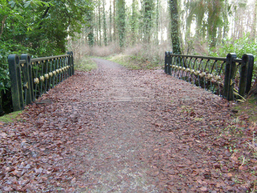 Mount Bellewfoot bridge · 654 yd
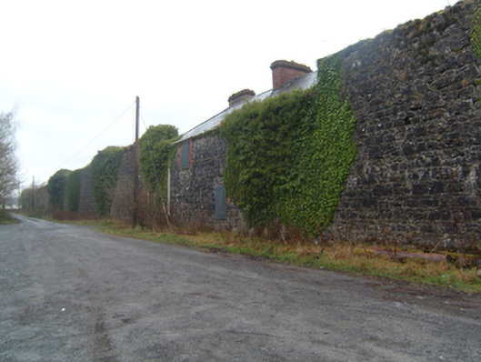 Mount Bellew Museumwalled garden · 865 yd
 Mountbellew ForestForest · 1527 yd
 Wych ElmWych Elm · 1.1 mi
 Enclosure in CarrownaganniveEnclosure · 1.1 mi
 St. Bridgers WellHoly well · 1.7 mi
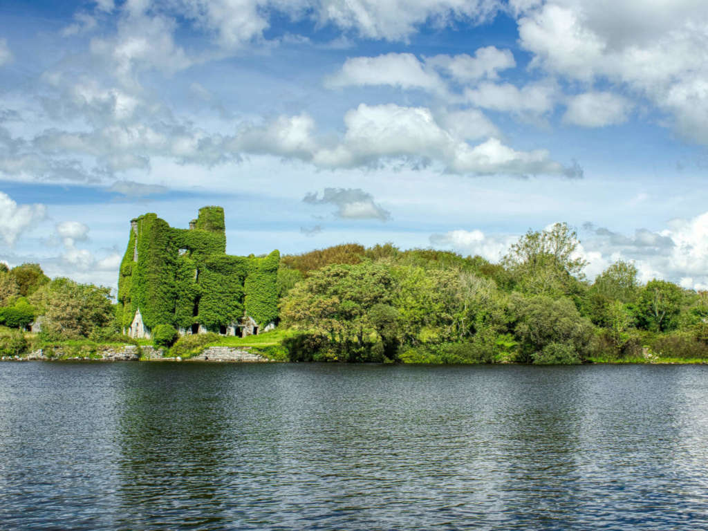 Castle BellewArchaeological place · 2.2 mi
 Ballinlass Eviction MemorialMemorial · 2.4 mi
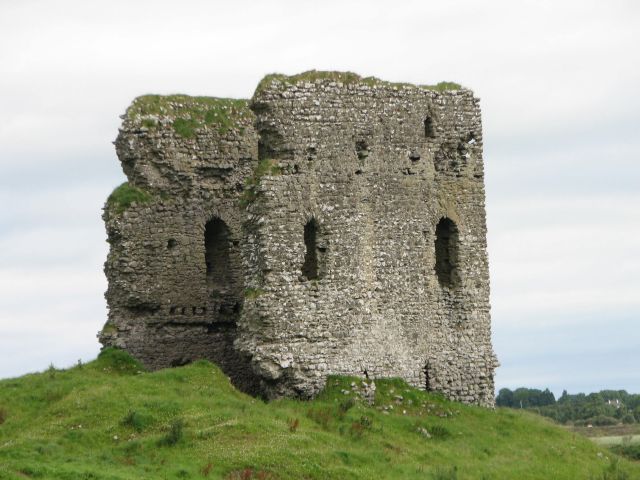 Moylough CastleCastle · 2.9 mi
 Menlough IRAMemorial · 4.4 mi
 Mount MaryMountain / peak · 8.2 mi
 Sally IslandIslet · 10 mi