What is recorded here
On a SE-facing slope on top of a rise on the S shore of Killone Lake. A suboval enclosure (c. 20m E-W; c. 16m N-S) visible on Google Earth image taken 4 February 2018.
The following image has been uploaded:
CL041-193----_01.jpg Google Earth image taken 4 February 2018
Compiled by: Mary Tunney
Date of upload: 12 May 2021
The monument record does not grant public access. Check the route and ask the landowner before entering private land.
- What survives
- Recorded monument
Places near here
 Enclosure in FeaghEnclosure · 514 yd
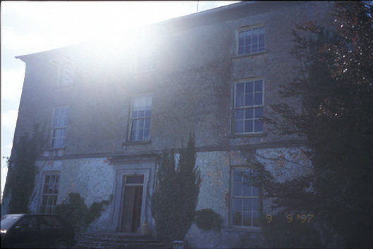 Barntick Housefarm house · 619 yd
 Trees;Irreg broken indicationFairy fort / earthen ringfort · 718 yd
 Killone AbbeyHeritage attraction · 773 yd
 Killone Abbey (in ruins)Religious house, Augustinian nuns · 781 yd
 Abbey WoodForest · 1038 yd
 Killone Castle (in Ruins)Castle, unclassified · 1675 yd
 Rockmount WoodWood · 1.2 mi
 Alice and Gwendoline CaveMuseum · 1.2 mi
 Irish Famine MemorialMemorial · 1.8 mi
 G.A.A. Commemorative StoneMemorial · 1.9 mi
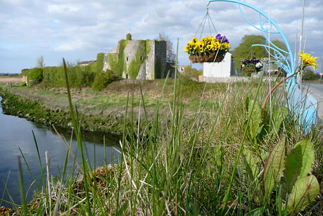 Clare CastleCastle · 2.1 mi