What is recorded here
In pasture, on a NE-facing slope. Enclosure depicted as embanked circular enclosure (diam. c. 30m) on 1841 OS 6-inch map has been levelled. Only visible surface trace of enclosing element is arc of depression (D c. 0.4m; Wth 10.5m) ESE-WNW which terminates on both ends at field boundary, defining roughly D-shaped area (9m NNE-SSW; 10m WNW-ESE). Area on N side of field boundary in noticably uneven but no discernable trace of enclosure evident.
Compiled by: Denis Power
Date of upload: 26 August 2011
The monument record does not grant public access. Check the route and ask the landowner before entering private land.
- What survives
- Recorded monument
Places near here
 Killagholehane Church (in ruins)Church · 1.1 mi
 Glenduff CastleCastle, tower house · 1.2 mi
 IndicatedFairy fort / earthen ringfort · 1.4 mi
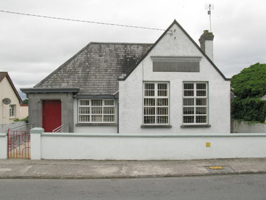 Broadford Carnegie Librarylibrary/archive · 1.5 mi
 Mound in Rowls NorthMound · 1.6 mi
 Mullaghareirk - Banane LoopWalking route · 2.4 mi
 Castle (in ruins), Springfield CastleCastle, tower house · 2.5 mi
 Ballagh MountainMountain / peak · 4.0 mi
 National Co-op MuseumMuseum · 4.1 mi
 Saint Ite's WellSpring · 4.6 mi
 ToberhoranSpring · 4.7 mi
 Rock HillMountain / peak · 4.9 mi