
What is recorded here
The official Northern Ireland record identifies this as ENCLOSURE. Recorded period: UNCERTAIN. The official map point was placed at the centre of the recorded archaeological site from the source map reference.
The monument record does not grant public access. Check the route and ask the landowner before entering private land.
- What survives
- Recorded monument
Places near here
 A.P. SITEA.P. SITE, BIVALLATE ENCLOSURE · 186 yd
 LARGE COUNTERSCARP HILLTOP ENCLOSURELARGE COUNTERSCARP HILLTOP ENCLOSURE, HILLFORT? · 822 yd
 SQUARE PLATFORMSQUARE PLATFORM, CASTLE? · 1.3 mi
 Carleton's CottageHeritage attraction · 1.3 mi
 Carleton’s CottageGallery/ Museum · 1.3 mi
 PRE-NORMAN CATHEDRAL; GRAVEYARD; AUGUSTINIAN FRIARY; POST-MED. and MODERN CATHEDRAL; GRAVEYARD; 3 CROSSES; 2 BULLAUNS: CLOGHER CATHEDRAL or CLOCHAR or CLOCHAR-MAC-nDAIMENI in Clogher DemesnePRE-NORMAN CATHEDRAL; GRAVEYARD; AUGUSTINIAN FRIARY; POST-MED. and MODERN CATHEDRAL; GRAVEYARD; 3 CROSSES; 2 BULLAUNS: CLOGHER CATHEDRAL or CLOCHAR or CLOCHAR-MAC-nDAIMENI · 1.3 mi
 Protestant HallHall · 1.3 mi
 Altadaven WoodForest · 2.4 mi
 Saint Patrick's ChairNamed rock · 2.6 mi
 Planting LineForest · 2.7 mi
 Sliabh Beagh WayWalking route · 3.5 mi
 KnockmanyArchaeological place · 3.5 mi
Other information
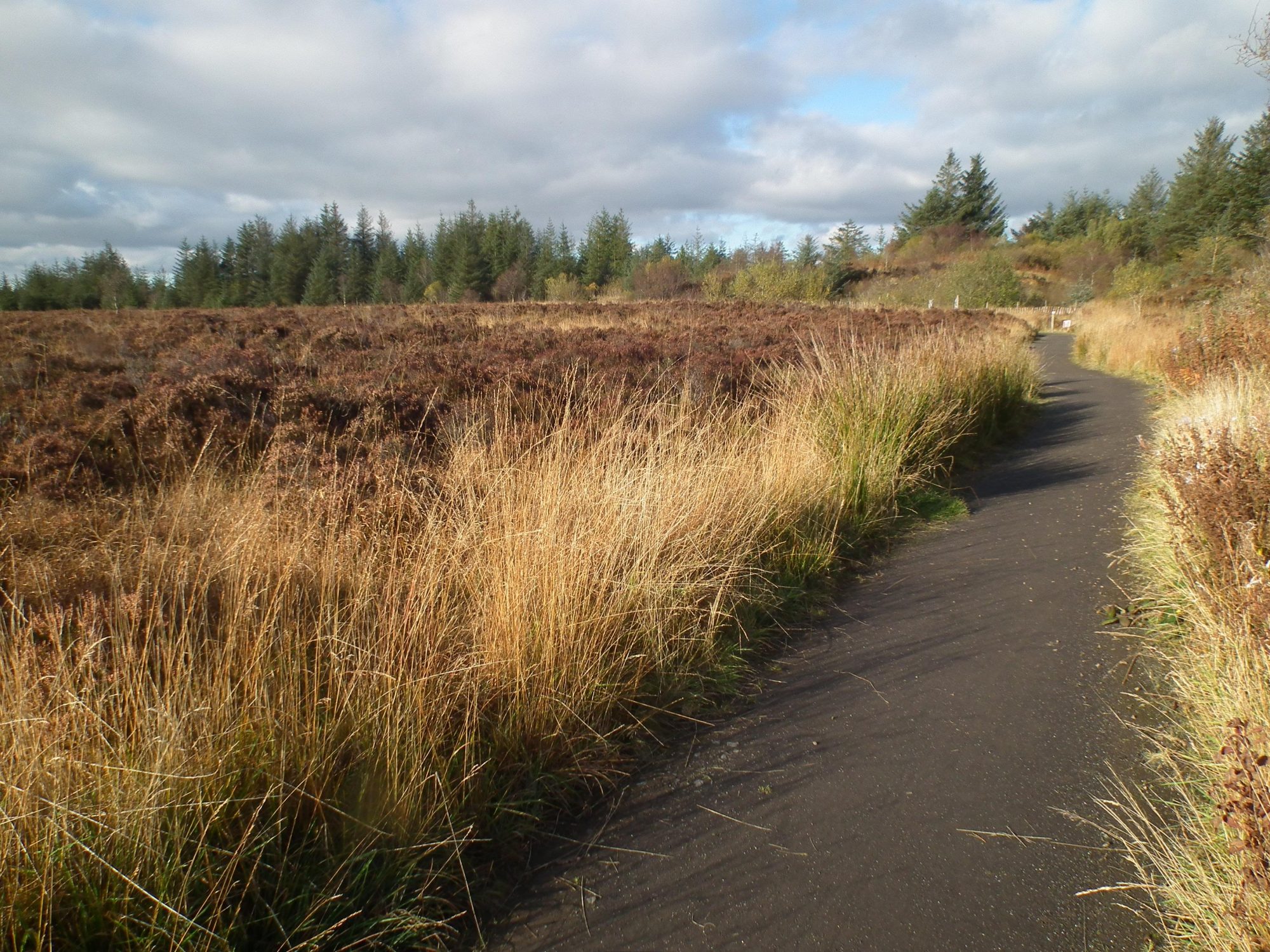
Photo: Credit not shown in the picture search · Rights wording not checked; contact us if this picture should be removed