What is recorded here
Enclosure in Ballyteernan, County Clare, Ireland: Near the top of a N-facing slope in pasture. Hachured as a rath on the 1840 OS 6-inch map with another (CL025-194002-) immediately adjacent at NE. Also hachured on the 1920 Cassini edition. Listed as ‘Enclosure, possible’ in the SMR (1992) and the RMP (1996). On inspection in 1999 there were no visible traces at ground level. The area had been cleared and the soil pushed N to the present field
Near the top of a N-facing slope in pasture. Hachured as a rath on the 1840 OS 6-inch map with another (CL025-194002-) immediately adjacent at NE. Also hachured on the 1920 Cassini edition. Listed as ‘Enclosure, possible’ in the SMR (1992) and the RMP (1996). On inspection in 1999 there were no visible traces at ground level. The area had been cleared and the soil pushed N to the present field boundary. No visible traces on available aerial imagery (2024).
Compiled by: Mary Tunney
Date of upload: 1 December 2025
This remains an important historical record, but the official description says the monument is no longer visible or has been destroyed. The monument record does not grant public access. Check the route and ask the landowner before entering private land.
- What survives
- No visible remains or recorded as destroyed
Places near here
 ToberinneenboyHoly well · 536 yd
 Kilcross Church (in Ruins)Church · 587 yd
 Magowna CastleCastle · 712 yd
 CaherbannaghFairy fort / stone ringfort · 1291 yd
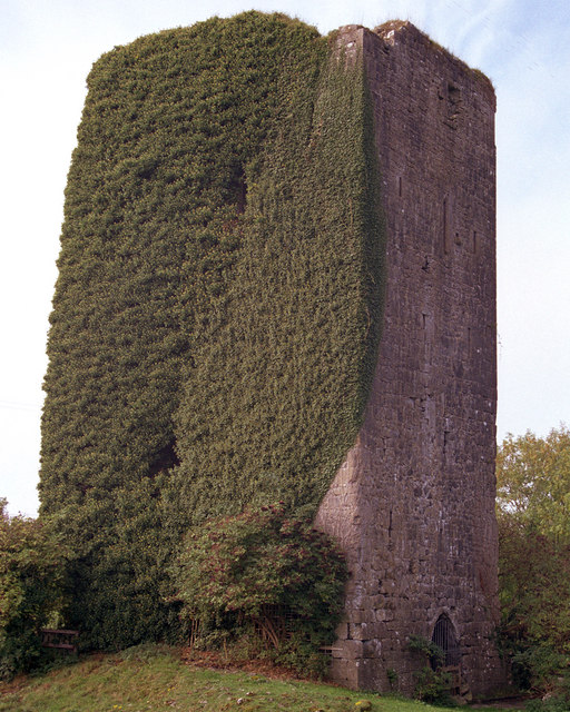 Ballygriffy CastleCastle · 1.5 mi
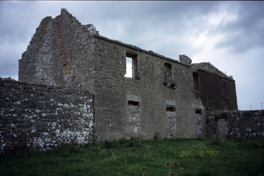 Mollaneen Housefarm house · 1.8 mi
 Ballygriffy WoodWood · 2.2 mi
 Battle of TullyodeaBattlefield · 3.7 mi
 Post Office FieldNature reserve · 3.7 mi
 Poul na gollorCave · 3.7 mi
 Ennis AbbeyMuseum · 3.8 mi
 Clare MuseumMuseum · 3.9 mi