
What is recorded here
Situated on a gentle E-facing slope at the E edge of a ridge, with steep downhill slopes immediately N of the site. A D-shaped annexe (dims. 35m N-S; 25m E-W; max. ext. dims. 84m E-W; 56m N-S) is attached to the W edge of a ringfort (WI043-012----), also defined by an earth and gravel bank (Wth 3m; H 0.9m) and an external fosse which is a continuation of that around the main enclosure. The outer bank of the ringfort at N also continues along the N side of the annexe. There is a modern gap (Wth 3.8m) in the bank of the annexe at the W.
The above description is derived from the published 'Archaeological Inventory of County Wicklow' (Dublin: Stationery Office, 1997). In certain instances the entries have been revised and updated in the light of recent research.
Compiled by: Jean Farrelly
Date of upload: 10 October 2012
The monument record does not grant public access. Check the route and ask the landowner before entering private land.
- What survives
- Recorded monument
Places near here
 Ballynultagh HillMountain / peak · 676 yd
 IndicatedEnclosure · 832 yd
 Tober NahanHoly well · 1623 yd
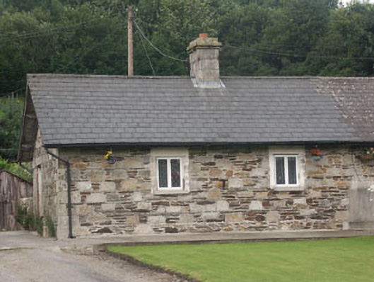 worker's houseworker's house · 1750 yd
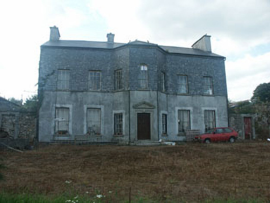 Ballyraheen Housecountry house · 1.1 mi
 Sweet ChestnutSweet Chestnut · 1.2 mi
 Mill WoodWood · 1.3 mi
 Clonmore MoatCastle, motte and bailey · 3.9 mi
 Clonmore Castle (in Ruins)Castle, Anglo-Norman masonry castle · 4.2 mi
 Church (in ruins), GraveyardChurch · 4.8 mi
 Luke O'Toole MemorialMemorial · 5.3 mi
 Ballycumber HillMountain / peak · 5.4 mi
Other information
Photo: Credit not shown in the picture search · Rights wording not checked; contact us if this picture should be removed