What is recorded here
Depicted as hachured trapezoidal enclosure (c. 40m N-S; c. 30m E-W at S end; c. 20m E-W at N end) on 1842 OS 6-inch map; NE corner chamfered to form a fifth side. In pasture, on gentle E-facing slope, abutting field boundary to E. Levelled; no visible surface trace.
The above description is derived from the published 'Archaeological Inventory of County Cork. Volume 4: North Cork' (Dublin: Stationery Office, 2000). In certain instances the entries have been revised and updated in the light of recent research.
Date of upload/revision: 14 January 2009
The monument record does not grant public access. Check the route and ask the landowner before entering private land.
- What survives
- Recorded monument
Places near here
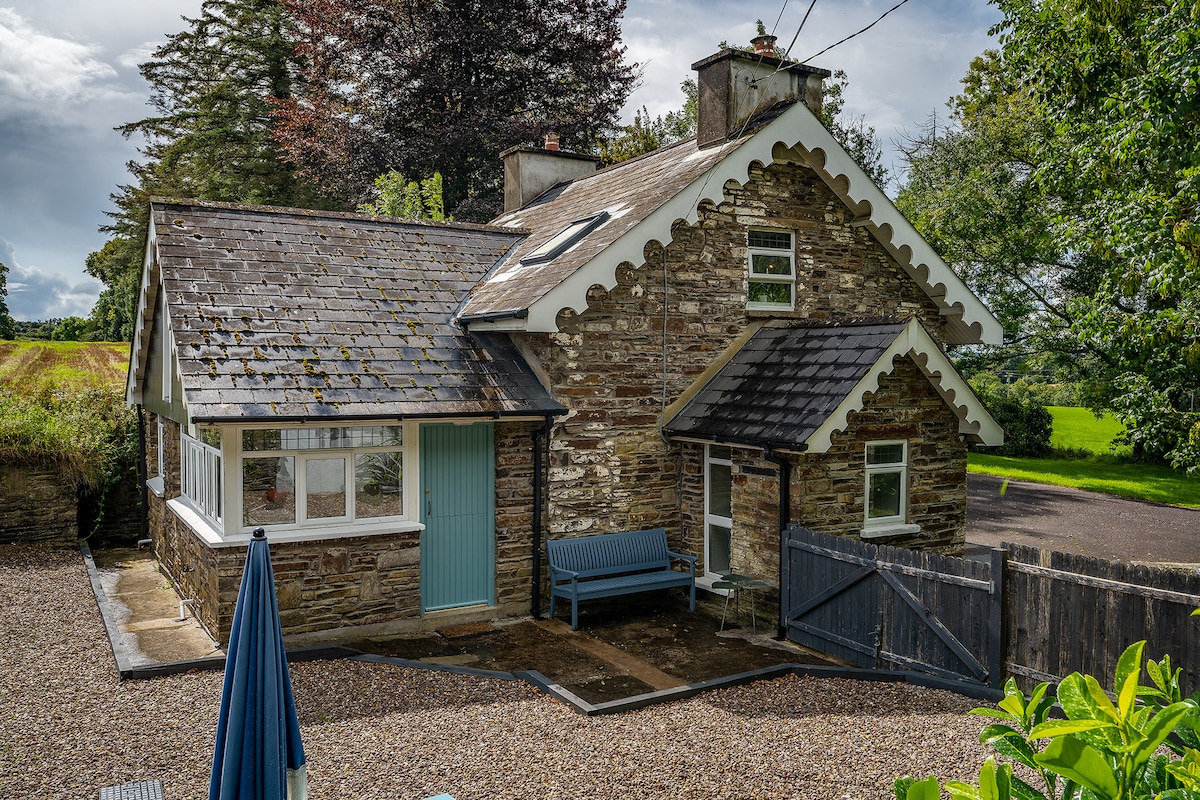 Hut site in BoherashHut site · 1157 yd
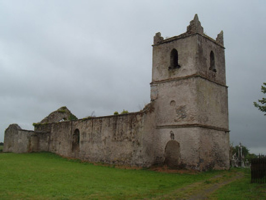 Glanworth Churchchurch/chapel · 1167 yd
 Saint Patrick's National Schoolschool · 1173 yd
 Graveyard in BoherashGraveyard · 1184 yd
 St Dominick's WellSpring · 1340 yd
 Glanworth Castle (in Ruins)Castle, Anglo-Norman masonry castle · 1352 yd
 Glanworth CastleCastle · 1352 yd
 Grave Yd (Site of)Graveyard · 1368 yd
 Blackwater (Avondhu) WayWalking route · 3.5 mi
 Flat cemetery in Ballyenahan NorthFlat cemetery · 3.6 mi
 Johnson's WoodForest · 3.9 mi
 Anne's Grove GardensHeritage attraction · 4.0 mi