
What is recorded here
In pasture, on an elevated area of ground. Circular area (diam. 26m) defined by bank SE-SW and at WNW and scarp (Wth 2.7m; H 0.7m) NNW-SE and SW-W. Entrance gap (Wth 5m) at NW and breach (Wth 3m) at ENE. Fosse (overall Wth 7.05m; basal Wth 2.85m; D 0.15m) N-SE is densely overgrown NE-SE with nettles and briars NE-SE. Interior is grass covered and has a short linear bank (long axis ENE-WSW; L 10m; H 0.15m) and parallel depression extending westwards from breach at ENE. Field boundary (long axis N-S) to W, removed. Farmyard to NNW.
Compiled by: Jean Farrelly
Date of upload: 26 August 2011
The monument record does not grant public access. Check the route and ask the landowner before entering private land.
- What survives
- Recorded monument
Places near here
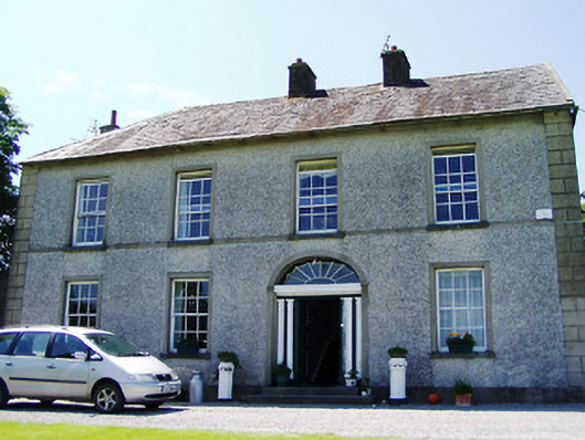 Ballynahinch Househouse · 738 yd
 Site of ChurchChurch · 1234 yd
 Camus Castle (in ruins)Castle, unclassified · 1291 yd
 Flour millWater mill, unclassified · 1297 yd
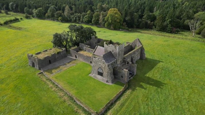 Enclosure in KilshenaneEnclosure · 1460 yd
 Ballynahinch Castle (in ruins)Castle, tower house · 1.5 mi
 Hore AbbeyHeritage attraction · 2.7 mi
 Black mulberryBlack mulberry · 3.0 mi
 Athassel PrioryHeritage attraction · 4.4 mi
 Dundrum Woods (Marl Bog)Forest · 4.7 mi
 Soloheadbeg Ambushambush · 8.9 mi
 Soloheadbeg Ambush SiteMemorial · 9.2 mi
Other information
Photo: Credit not shown in the picture search · Rights wording not checked; contact us if this picture should be removed