What is recorded here
In very gently undulating terrain, in pasture. A natural ridge has been scarped to form two enclosures, the northernmost (TS075-004---) is separated from the southern enclosure (TS075-004001-) by a fosse (Wth c. 4m; D 0.33m). The 2nd ed. (1901-5) OS 6-inch map depicts a bank dividing the enclosures. The ridge extends E beyond the enclosures and slopes down towards the stream which runs NW-SE along the E boundary of the field. The southern enclosure is roughly rectangular in shape (diam. c. 70m N-S; 90m E-W) defined by scarp. The edge of the monument is not as clearly defined as on 2nd (1901-05) ed. OS 6-inch map.
Compiled by: Jean Farrelly
Date of upload: 31 March 2014
The monument record does not grant public access. Check the route and ask the landowner before entering private land.
- What survives
- Recorded monument
Places near here
 Enclosure in Ballymorris (killardry Par.)Enclosure · 84 yd
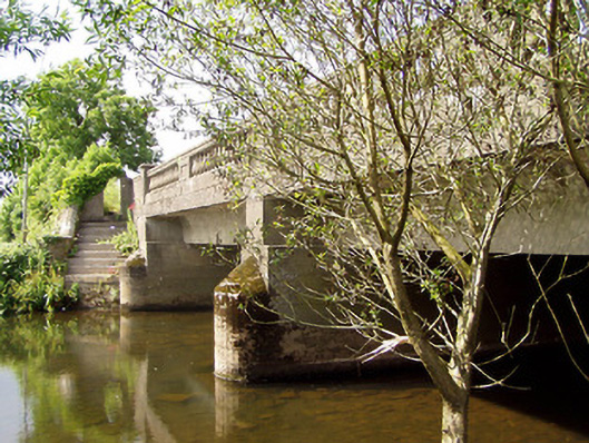 Cappa New Bridgebridge · 378 yd
 RoadRoad, road/trackway · 882 yd
 Man-made underground passage in Ballygorteen (clonbullogue Par.)Man-made underground passage · 1023 yd
 Caucasian zelkovaCaucasian zelkova · 1502 yd
 Castle in ruins)Castle, unclassified · 1.2 mi
 Cappa WoodWood · 1.3 mi
 Cashlaunbeg (in ruins)Bawn · 1.5 mi
 Slieveanard NE TopMountain / peak · 2.2 mi
 SlieveanardMountain / peak · 2.6 mi
 Caher AbbeyHeritage attraction · 4.2 mi
 Siege of Cahir Castlesiege · 4.3 mi