What is recorded here
In very gently undulating terrain, sloping gradually to SW, in meadow in large field. Circular area identified as cropmark on aerial photograph (GSI 16.4.1974 R.518/S.631). Located adjacent to field boundary running N-S on W side. Visible as raised area. W and S edges are discernible but the N and E quadrants are unclear. No diameter obtainable. S side raised 0.94m over 12m. Located immediately W of a field gate in stone wall boundary to E. Wide ditch on W side of this field boundary may have partially tuncated the E quadrant of enclosure. Barley growing in same field immediately N of the enclosure and c. 20m S of the monument. There are no internal divisions in the field.
Compiled by: Jean Farrelly
Date of upload: 26 August 2011
The monument record does not grant public access. Check the route and ask the landowner before entering private land.
- What survives
- Recorded monument
Places near here
 Man-made underground passage in Ballygorteen (clonbullogue Par.)Man-made underground passage · 274 yd
 RoadRoad, road/trackway · 284 yd
 Enclosure in Ballymorris (killardry Par.)Enclosure · 741 yd
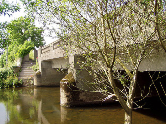 Cappa New Bridgebridge · 1197 yd
 Castle in ruins)Castle, unclassified · 1.2 mi
 Caucasian zelkovaCaucasian zelkova · 1.3 mi
 Cappa WoodWood · 1.7 mi
 Cashlaunbeg (in ruins)Bawn · 1.8 mi
 Slieveanard NE TopMountain / peak · 2.7 mi
 SlieveanardMountain / peak · 3.1 mi
 Caher AbbeyHeritage attraction · 4.5 mi
 Siege of Cahir Castlesiege · 4.7 mi