
What is recorded here
At the base of a steep NW-facing slope of the valley of the Sruhnasilloge river, a tributary of the River Nore, in pasture. There are good views to the NW along the Nore river valley. Ground levels out in the adjoining field to the N. This enclosure is indicated on the 1st (1839-40) ed. OS 6-inch map as a roughly circular area (diam. c. 30m) defined by hachures. The monument is not depicted on the 2nd (1903) edition which suggests it was levelled between 1839 and 1903. The enclosure is not visible at ground level.
Compiled by: Jean Farrelly
Date of upload: 4 October 2016
The monument record does not grant public access. Check the route and ask the landowner before entering private land.
- What survives
- Recorded monument
Places near here
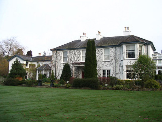 Rockviewhouse · 640 yd
 Site of Brittas CastleCastle, unclassified · 972 yd
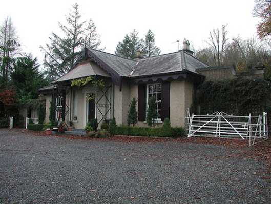 The Motteunknown · 1126 yd
 Site of St. Kierans ChurchChurch · 1194 yd
 St. Kieranss WellHoly well · 1237 yd
 Black CastleCastle · 1400 yd
 St. Mary's ChurchVisitor information · 1412 yd
 Graveyard in InistiogeGraveyard · 1417 yd
 James FrenyMemorial · 1423 yd
 InistiogeVisitor information · 1429 yd
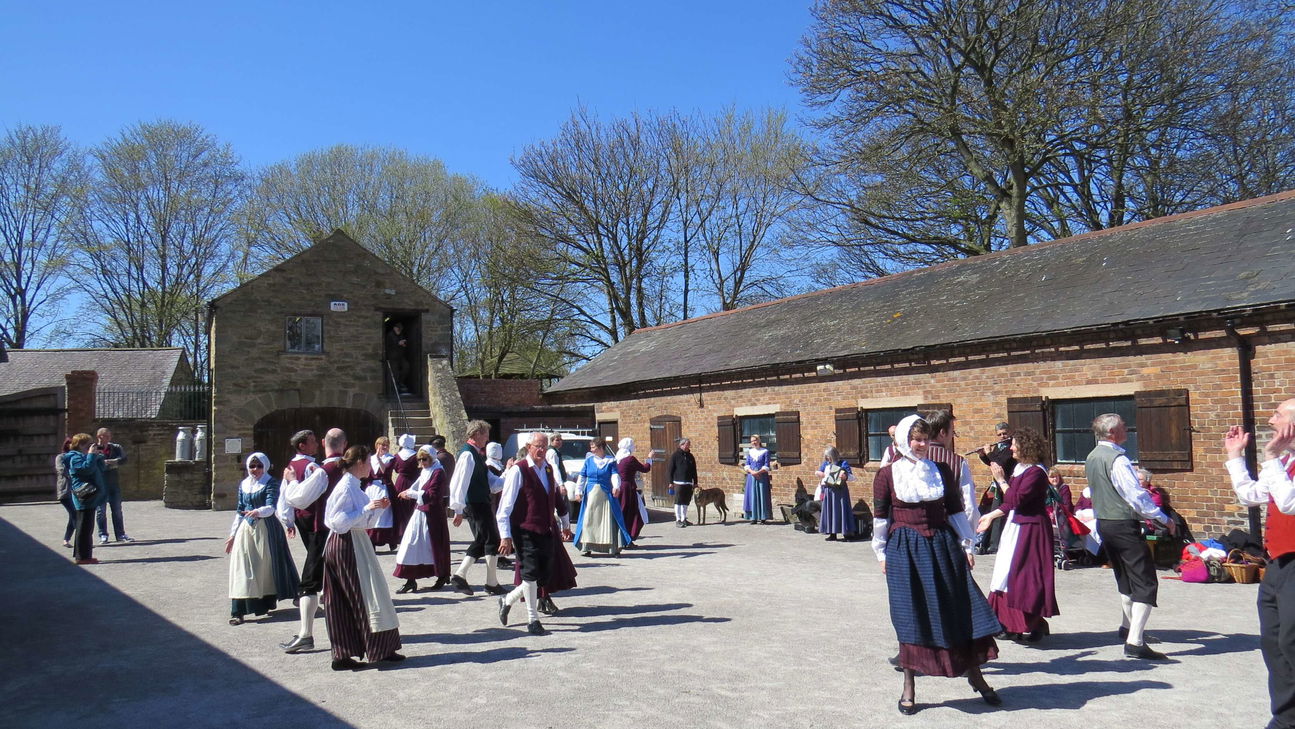 Woodstock Heritage MuseumMuseum · 1550 yd
 The CoumWood · 1.2 mi
Other information
Photo: Credit not shown in the picture search · Rights wording not checked; contact us if this picture should be removed