What is recorded here
Located on a NE-facing slope which falls sharply immediately N of the site. A stream flows at the base of the steep slope. The current OS 6-inch map indicates that the SE portion of the site had been destroyed and the rest of the site was subsequently levelled in the 1950s (Stout 1984, 86). The outline of this large irregular enclosure is still barely visible (c. 95m N-S) defined by a much flattened bank in the S half (Wth c. 4m; int. H 0.42m; ext. H 0.36m) with traces of an external fosse (Wth 2.4m; D 0.25m) and as a raised platform in the NE quadrant (H 1.17m). There appears to be a smaller circular enclosure (diam. c. 30m N-S) in the N sector of the interior defined by a scarp (H 0.44m) and possible outer fosse (Wth 2.5m; D 0.4m).
The above description is derived from 'The Archaeological Inventory of County Tipperary. Vol. 1 - North Tipperary' compiled by Jean Farrelly and Caimin O'Brien (Dublin: Stationery Office, 2002). In certain instances the entries have been revised and updated in the light of recent research.
Date of upload/revision: 22 September 2008
The monument record does not grant public access. Check the route and ask the landowner before entering private land.
- What survives
- Recorded monument
Places near here
 LisnageehaArchaeological place · 182 yd
 Patricks WellHoly well · 218 yd
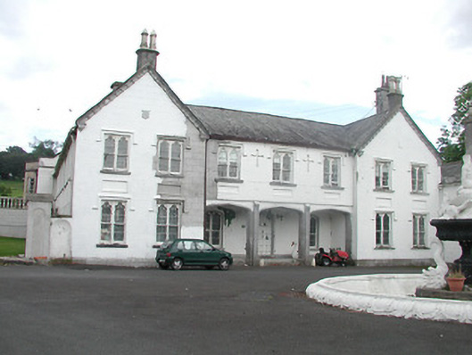 Inane Housecountry house · 1.1 mi
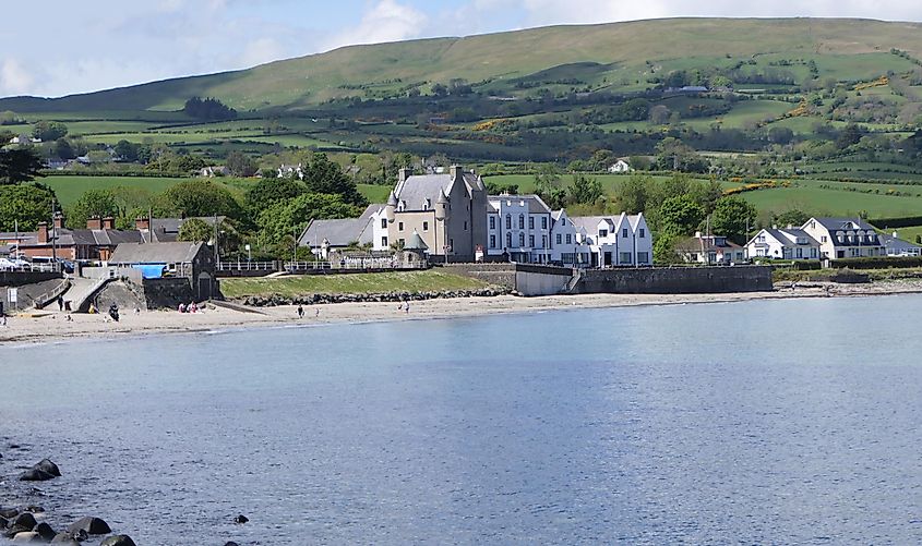 Castle (in ruins)Castle, tower house · 1.2 mi
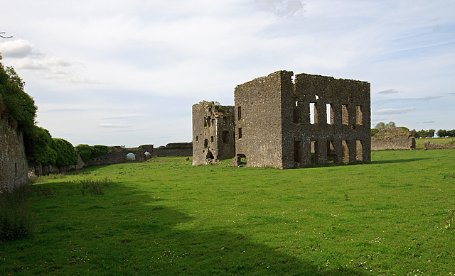 IndicatedBawn · 1.2 mi
 Kiln in CamlinKiln · 1.2 mi
 Roscrea Petty Sessions HouseHeritage attraction · 2.6 mi
 European ashEuropean ash · 2.9 mi
 White MulberryWhite Mulberry · 3.2 mi
 Millennium GardenMemorial · 3.6 mi
 Black HillMountain / peak · 3.6 mi
 Golden Grove HillMountain / peak · 4.3 mi