
What is recorded here
In tillage. A circular enclosure (diam. c. 30m N-S; c. 32m E-W) identified as a cropmark on Google Earth Pro imagery (imagery date 14 July 2018) separately by Jean-Charles Caillère, Simon Dowling and Edward O'Riordan. There are traces of an outer fosse, at a distance of c. 7m and concentric with the W-N-NE sectors of the enclosure, which is not as wide or deep as the inner fosse.
See attached photograph:
CW009-046----_01 Image ©2019 CNEW/Airbus: Google Earth Pro satellite imagery (14 July 2018)
Compiled by: Jean Farrelly
Date of upload: 18 December 2019
A local fairy fort (ringfort/rath); wider significance not recorded.
The monument record does not grant public access. Check the route and ask the landowner before entering private land.
- What survives
- Recorded monument
Places near here
 Skeaghanagh (Ancient Thorn)Ritual site, holy tree/bush · 858 yd
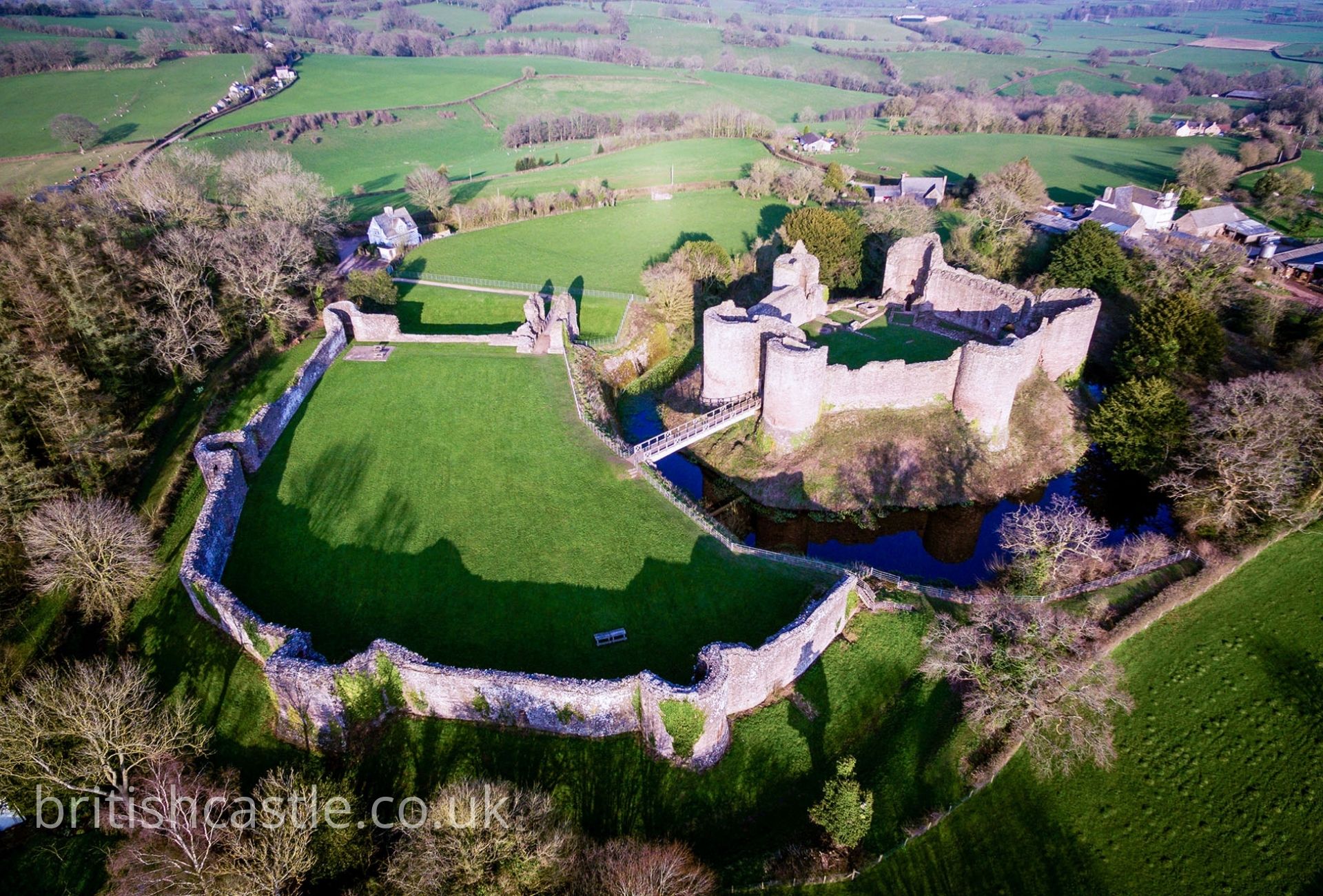 White Castle (Site of)Castle, unclassified · 1049 yd
 Font in PowerswoodFont · 1212 yd
 Ballycorcoran Bridgebridge · 1479 yd
 Church in FirgroveChurch · 1633 yd
 Mount AltoMountain / peak · 1.3 mi
 The CoumWood · 1.4 mi
 Castle, Ballyduff HouseCastle, tower house · 1.4 mi
 Woodstock forestWood · 1.4 mi
 Woodstock Gardens and ArboretumHeritage attraction · 1.6 mi
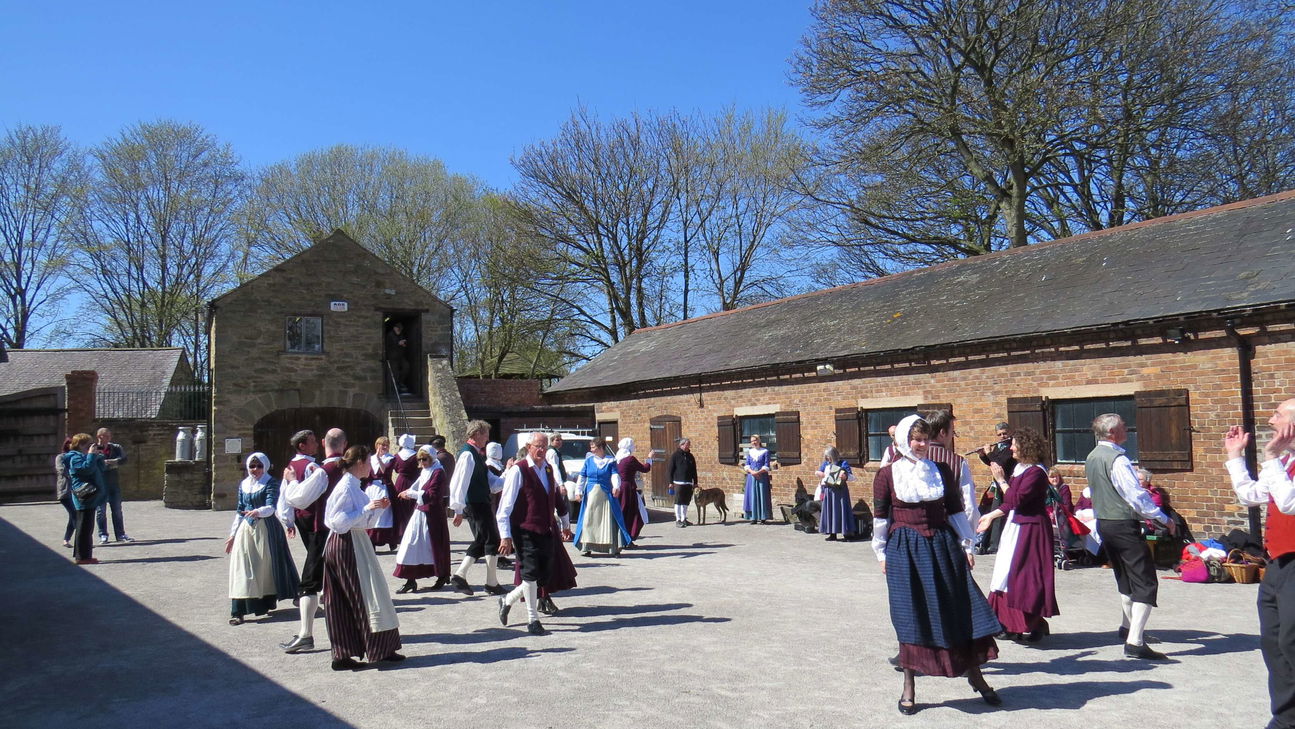 Woodstock Heritage MuseumMuseum · 1.7 mi
 St Colmcille's WellVisitor information · 1.7 mi
Other information
Photo: Credit not shown in the picture search · Rights wording not checked; contact us if this picture should be removed