What is recorded here
Situated on boulder-strewn, heath-covered terrain on the S facing slope of Two Rock Mountain. An enclosure noted as a ring of stones (diam. c. 30m ) with SE annexe marked N of the enclosure (DU025-040001-) and two hut sites (DU025-040003-, DU025-040004- ) on the 1st. edition OS 6-inch map. Field walking has failed to identify these features on the ground.
Compiled by: Geraldine Stout and Padraig Clancy
Uploaded on: 28 July 2018
The monument record does not grant public access. Check the route and ask the landowner before entering private land.
- What survives
- Recorded monument
Places near here
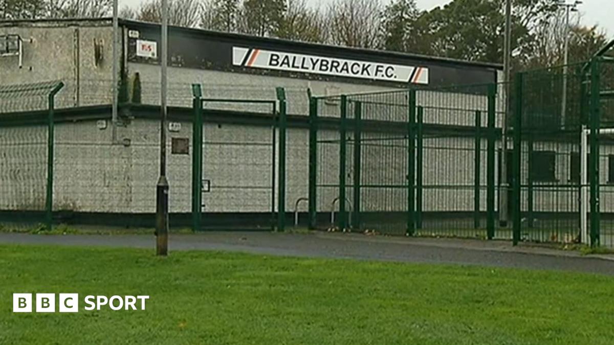 Enclosure in Ballybrack (rathdown By., Glencullen Ed)Enclosure · 94 yd
 Megalithic structure in Ballybrack (rathdown By., Glencullen Ed)Megalithic structure · 726 yd
 Two Rock MountainMountain / peak · 1102 yd
 Dublin Mountains Partnership InformationVisitor information · 1207 yd
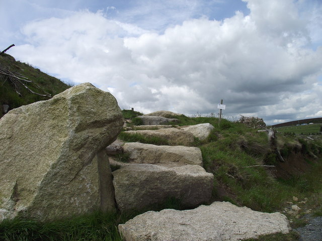 Wicklow WayWalking route · 1284 yd
 Dublin Mountain Way informationVisitor information · 1317 yd
 Ballyedmonduff ForestForest · 1532 yd
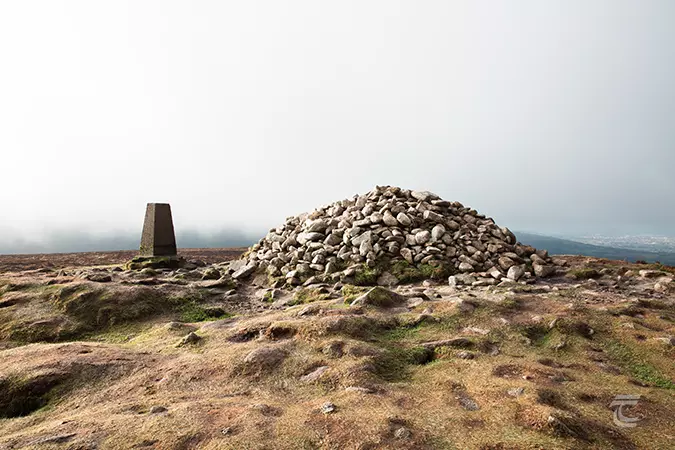 Ticknock - Fairy Castle LoopWalking route · 1.1 mi
 O'Connells RockMemorial · 1.1 mi
 water pumpwater pump · 1.2 mi
 Tibradden WoodForest · 1.2 mi
 kilnkiln · 1.3 mi