What is recorded here
A sub-circular enclosure, c. 50m diameter, visible on lidar imagery (https://dcenr.maps.arcgis.com). Information supplied by Colm Chambers.
Compiled by: Matt Kelleher
Date of upload: 8 May 2018
The monument record does not grant public access. Check the route and ask the landowner before entering private land.
- What survives
- Recorded monument
Places near here
 Enclosure in NutgroveEnclosure · 704 yd
 Folachta FiadhFulacht fia · 805 yd
 Killleenemer Church (in Ruins)Church · 1363 yd
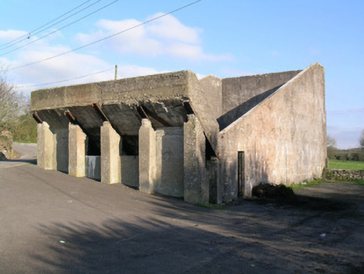 Ballindangan Handball Alleyhandball alley · 1749 yd
 Caherdrinny Castle (in Ruins)Castle, tower house · 1.0 mi
 Ballyloughy CastleCastle · 1.9 mi
 FlagCave · 2.1 mi
 St Dominick's WellSpring · 2.9 mi
 Graveyard in BoherashGraveyard · 2.9 mi
 Mitchelstown Town MapVisitor information · 3.5 mi
 John MandevilleMemorial · 3.5 mi
 Kilclooney WoodWood · 5.0 mi