
What is recorded here
'Located in gently sloping land affording good views to the southern half of the compass and of the Stacks Mountains to the east, this site is cut by a modern field wall to the south. To the north of this wall the C-shaped crop mark of an in-filled ditch is clearly visible, the open side of the C terminating at the modern field wall. There is no trace of the site to the south of the wall in land that has been improved and reclaimed. No trace of the site can be seen at ground level. The crop mark as visible measures approximately 40m N-S 9to the field wall) and 43m E-W.'
Description from ‘The Prehistoric Settlement of the Lee Valley, Tralee, Co. Kerry; A Landscape Perspective’ by Michael Connolly. PhD Thesis UCC 2008
Date of upload: 20 June 2012
This remains an important historical record, but the official description says the monument is no longer visible or has been destroyed. The monument record does not grant public access. Check the route and ask the landowner before entering private land.
- What survives
- No visible remains or recorded as destroyed
Places near here
 Enclosure in Knockawaddra MiddleEnclosure · 457 yd
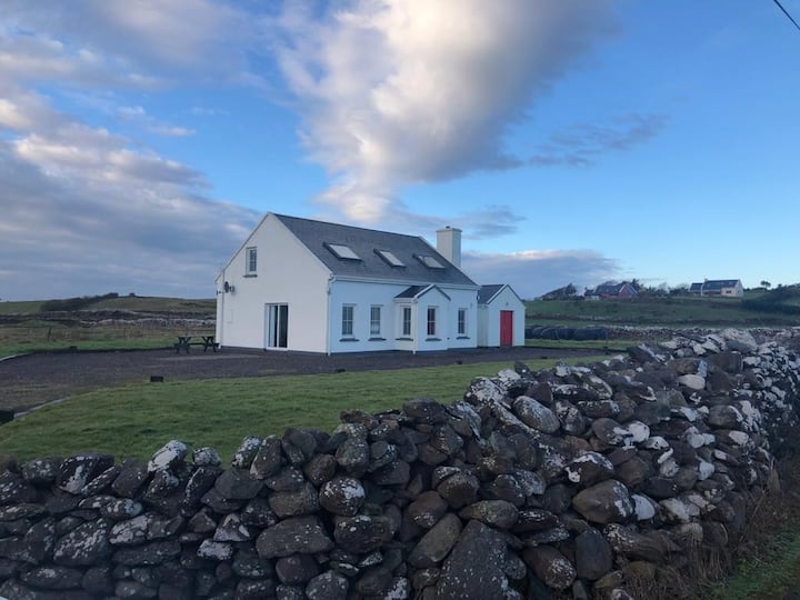 Enclosure in Knockawaddra EastEnclosure · 617 yd
 CastleCastle, tower house · 901 yd
 KilnKiln, lime · 1.1 mi
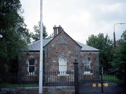 Collis-Sandes Housegate lodge · 1.3 mi
 Monterey PineMonterey Pine · 1.5 mi
 Ballyseede Castle HotelCastle · 1.8 mi
 Ballyseedy WoodWood · 1.8 mi
 Sunday's WellSpring · 1.9 mi
 Poulclashcannon (blocked)Cave · 2.0 mi
 PoulatouirtCave · 2.0 mi
 Civil War MemorialMemorial · 2.1 mi
Other information
Photo: Credit not shown in the picture search · Rights wording not checked; contact us if this picture should be removed