What is recorded here
On a level poorly-drained landscape. A circular feature (diam. c. 30m) is visible on aerial photograph (ACAP: V206/13,12), the perimeter being formed by a stream NE-E-SW and a fosse-like feature elsewhere which may be an old stream bed. It is not visible at ground level in pasture. Hut-site (RO021-063006-) is c. 30m to the NNE and church (RO021-064001-) is c. 70m to the SW.
Compiled by: Michael Moore
Date of upload: 24 August 2010
The monument record does not grant public access. Check the route and ask the landowner before entering private land.
- What survives
- Recorded monument
Places near here
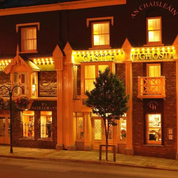 IndicatedChurch · 80 yd
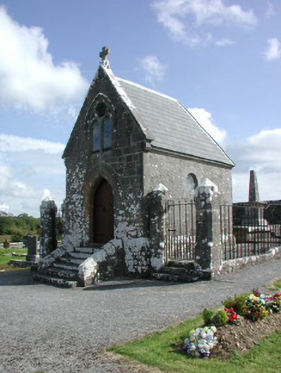 Irwin Mortuary ChapelOfficially recorded historic building · 88 yd
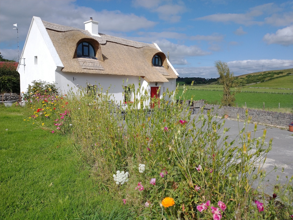 Sweathouse in RathmoyleSweathouse · 894 yd
 Enclosure in Glenvela,gortnasillaghEnclosure · 1018 yd
 CastlerubyCastle, unclassified · 2.4 mi
 Silver IslandIslet · 3.7 mi
 GortnacushlaunCastle, unclassified · 3.8 mi
 European ashEuropean ash · 4.1 mi
 ToberagullaSpring · 4.1 mi
 Workhouse MemorialMemorial · 4.4 mi
 Fairymount HillMountain / peak · 6.2 mi
 Gray's WoodForest · 7.4 mi