What is recorded here
Visible on aerial photographs (ACAP: V206/13.12), and situated on a slight E-facing slope. Rectangular grass-covered area (dims 31m NNW-SSE; 25m ENE-WSW) defined by an earthen bank and hedge (at W: Wth 3.2m; int. H 0.6m; ext. H 0.5m) separated by a berm (Wth 2m) from an outer fosse (Wth of top 3.4m; Wth of base 0.9m; int. D 0.6m; ext. D 1.1m) on all sides except the E where there is a fosse at the S end while the N part was not completed, and at N where there is no fosse. A smaller rectangular enclosure (RO021-063004-) (dims 14m NNW-SSE; 11m ENE-WSW) is attached to the S end and outer side of the perimeter at E. It is defined by an earthen bank and outer fosse or drain at S and W, a scarp at N and a modern field bank and drain at E. They may be small fields. Church (RO021-064001-) is c. 150m to the SE.
Compiled by: Michael Moore
Date of upload: 24 August 2010
The monument record does not grant public access. Check the route and ask the landowner before entering private land.
- What survives
- Recorded monument
Places near here
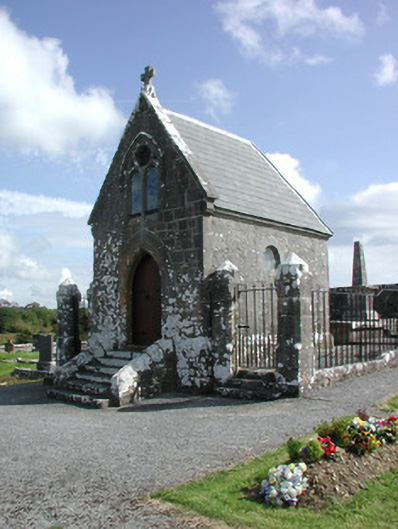 Irwin Mortuary ChapelOfficially recorded historic building · 178 yd
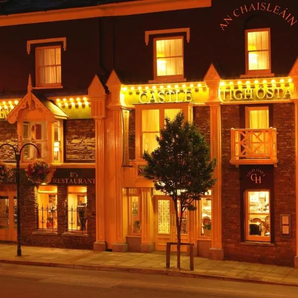 IndicatedChurch · 191 yd
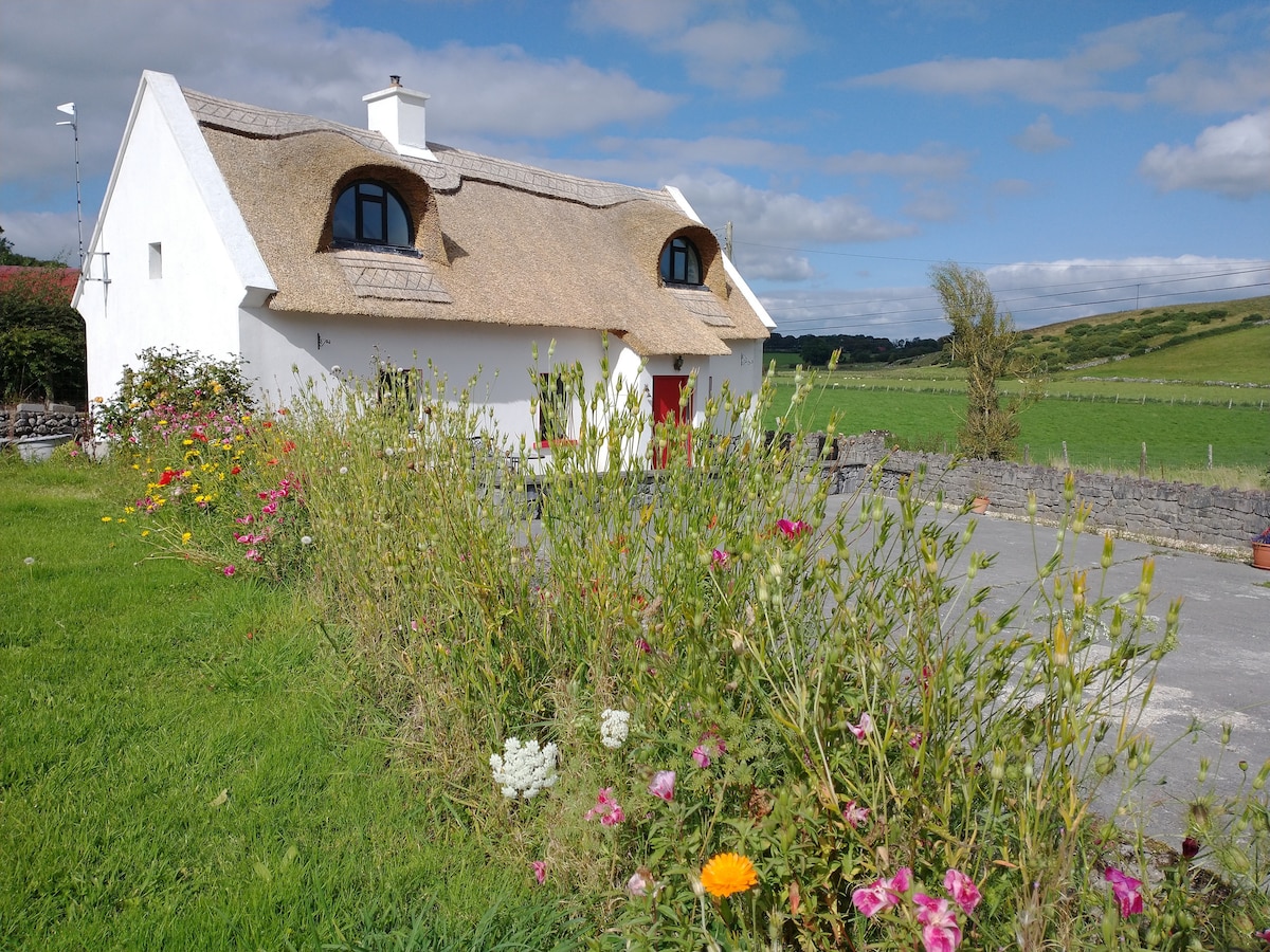 Sweathouse in RathmoyleSweathouse · 1060 yd
 RathmoyleArchaeological place · 1178 yd
 CastlerubyCastle, unclassified · 2.5 mi
 Silver IslandIslet · 3.6 mi
 GortnacushlaunCastle, unclassified · 3.8 mi
 European ashEuropean ash · 4.2 mi
 ToberagullaSpring · 4.2 mi
 Workhouse MemorialMemorial · 4.3 mi
 Fairymount HillMountain / peak · 6.1 mi
 Gray's WoodForest · 7.3 mi