
What is recorded here
Situated on a rise in a gently undulating landscape. The cropmark of a circular enclosure (diam. c. 30m) defined by a single fosse is visible only on an oblique aerial photograph (CUCAP: BDP 030) from 1970, but the fosse is only evident NW-E-SW. (Feeley 2001, 29-30, No. 3)
The above description is derived from the published 'Archaeological Inventory of County Meath' (Dublin: Stationery Office, 1987). In certain instances the entries have been revised and updated in the light of recent research.
Date of upload: 10 July 2007
Amended: 17 December 2017
The monument record does not grant public access. Check the route and ask the landowner before entering private land.
- What survives
- Recorded monument
Places near here
 Enclosure in Rath (ratoath By., Greenoge Par.)Enclosure · 1094 yd
 Church (in Ruins)Church · 1259 yd
 Dunmucky FortFairy fort / ringfort · 1650 yd
 CastleCastle, motte · 1.1 mi
 AshbourneMemorial · 1.6 mi
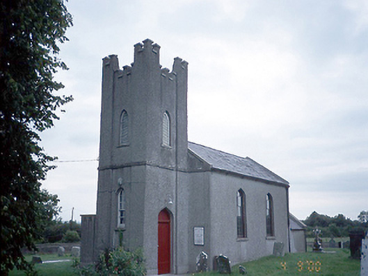 Saint David's Church (Kilsallaghan)church/chapel · 1.7 mi
 Wooly Ward's FarmHeritage attraction · 2.0 mi
 Kilbride MoatCastle, motte · 2.1 mi
 Graveyard in KillosseryGraveyard · 2.3 mi
 Wesley's WoodsWood · 2.9 mi
 TyrrelstownWood · 4.6 mi
 St. John's WellSpring · 4.7 mi
Other information
Photo: Credit not shown in the picture search · Rights wording not checked; contact us if this picture should be removed