What is recorded here
This small oval enclosure is situated in marshy land, about 50m from the N bank of the Owennafeana river. It measures 10m E-W x 8m N-S internally, and the enclosing wall, of rough drystone construction, stands to a maximum height of .75m. It is not clear where the entrance is located. The site was named 'fort' on the OS Fair Plan but is untitled on the published editions of the OS map.
The above description is derived from J. Cuppage, ‘Corca Dhuibhne. Dingle Peninsula archaeological survey. Ballyferriter. Oidhreacht Chorca Dhuibhne’ (1986), no. 1548. In certain instances the entries have been revised and updated in the light of recent research.
Date of upload: 5 August 2013
The monument record does not grant public access. Check the route and ask the landowner before entering private land.
- What survives
- Recorded monument
Places near here
 Hut site in An Sliabh GlasHut site · 1278 yd
 Na GalláinArchaeological place · 1.2 mi
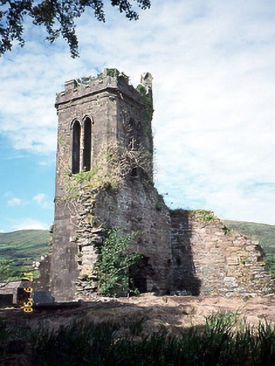 Séipéal an Clochán [Cloghane Church]church/chapel · 1.3 mi
 Cloghane ChurchRuins · 1.4 mi
 World War II plane crash site: Engine of Focke-Wulf Fw 200 CondorHeritage attraction · 1.5 mi
 Tearmann Dúlra Cnoc Bréanainn / Mount Brandon Nature ReserveNature reserve · 1.9 mi
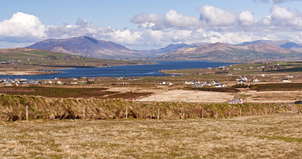 Piaras Mór (mullach thuaidh)Mountain / peak · 1.9 mi
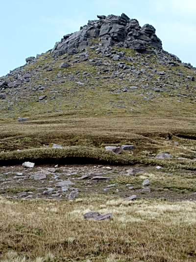 Piaras MórMountain / peak · 1.9 mi
 An CheapaighBeach / strand · 2.0 mi
 An t'Oileán DubhIslet · 2.1 mi
 Drom BeachBeach / strand · 2.5 mi
 Pointe na CathrachHeadland · 2.7 mi
Other information
Photo: Credit not shown in the picture search · Rights wording not checked; contact us if this picture should be removed