
What is recorded here
In level pastureland. Aerial reconnaissance revealed a roughly circular cropmark enclosure (CUCAP). Apart from a slight rise in the field level, no visible surface trace survives. However, its outline (diam. c. 58m) is still visible on aerial photographs (see https://binged.it/2mG9no8 last accessed 28 February 2017).
Compiled by: Olive Alcock
Date of upload: 28 February 2017
The monument record does not grant public access. Check the route and ask the landowner before entering private land.
- What survives
- Recorded monument
Places near here
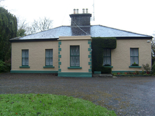 Mace Househouse · 561 yd
 CastleCastle, tower house · 583 yd
 IndicatedFairy fort / earthen ringfort · 751 yd
 Enclosure in Cluain LeannáinEnclosure · 1099 yd
 Site of Castle CreevyCastle, unclassified · 1216 yd
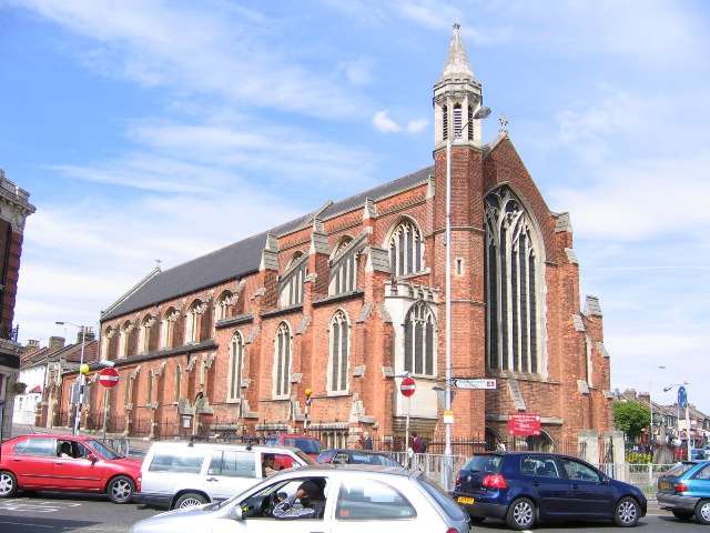 Killiam Church (in ruins)Church · 1725 yd
 Ballinduff BayBay · 1.5 mi
 Cúil DiarmuidWood · 2.4 mi
 Cregg Castle DemesneForest · 2.7 mi
 Kilcoona Round TowerHeritage attraction · 2.9 mi
 Oileán an AoilIsland · 3.0 mi
 Oileán an BhreathnaighIslet · 3.1 mi
Other information
Photo: Credit not shown in the picture search · Rights wording not checked; contact us if this picture should be removed