What is recorded here
In Alexander Reid, County Meath, a large subrectangular enclosure absorbed the rath and its annexes during Phase 4, reaching seventy metres east-west and forty metres north-south. Eleven cereal-drying kilns scattered throughout the area suggest busy food processing rather than passive storage. The southern ditch cut five metres outside the annexes, truncating two kilns and an earlier western ditch, while the eastern edge faded into a rising field system. People likely walked this broad space, tended hot kilns, and moved grain under open skies.
During Phase 4 the rath became absorbed with the E and W annexes into a large subrectangular enclosure (int. dims c. 70m plus E-W; c. 40m N-S) where the principal activity might be represented by many of the eleven cereal-drying kilns (ME025-096007-) throughout the excavated area. The line of the fosse, although re-cut, remained the same at as that of the annexes at N and W but at S a new line parallel with the S side of the annexes but 5m outside it was cut. It was U-shaped and flat-bottomed but a return at E was not found as the ditch shallowed out on the slight rise to the E and it may have been connected with a wider field system. Towards the W end the new ditch truncated two kilns and the E ditch of the earlier phase of the smaller outer W annexe (ME025-096004-), although a ditch defining the E edge of the later W annexe debouches into it. (McGlade 2017, vol. 1, 28-30; 83-5)
See the attached plans from McGalde 2017 (vol. 1, P 22, 29) _01 location; _02 enclosure;
Compiled by: Michael Moore
Date of upload: 19 April, 2023
McGlade, S. 2017 Preliminary Excavation Report, Site D, Alexander Reid, Navan. Licence: 16E0449. Unpublished report, 2 vols Archaeology Plan
The monument record does not grant public access. Check the route and ask the landowner before entering private land.
- What survives
- Recorded monument
Places near here
 Enclosure in Alexander ReidEnclosure · 29 yd
 Font (present location) in Johnstown (skreen By.)Font (present location) · 1073 yd
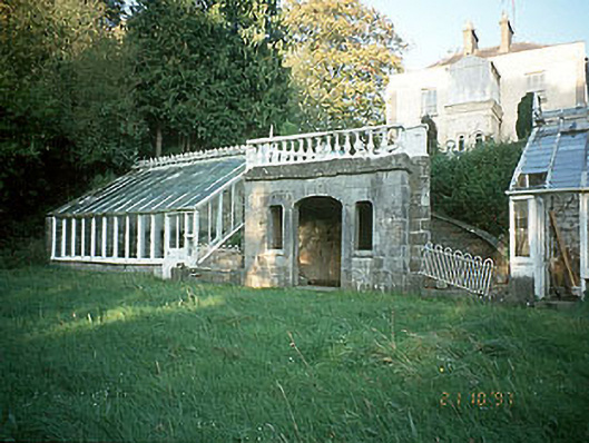 Boyne View Housesummerhouse · 1444 yd
 worker's houseworker's house · 1463 yd
 CastleCastle, motte · 1.1 mi
 Carn HillMountain / peak · 1.2 mi
 The RampartWood · 1.3 mi
 Rowley's WoodWood · 1.6 mi
 Donaghmore Round TowerHeritage attraction · 1.8 mi
 Nangle CourtMemorial · 2.3 mi
 Site of Old CastleCastle, unclassified · 3.3 mi
 Hill of TaraVisitor information · 4.7 mi