What is recorded here
Forth Field in Mullaghglass remains an unlocated enclosure, perhaps buried beneath modern soil or lost to time. The name suggests a boundary drawn around living space, maybe a farmyard, garden or sacred ground. Without a visible marker, the place exists only in memory and measurement.
The official Northern Ireland record identifies this as ENCLOSURE: FORTH FIELD (unlocated). Recorded period: UNCERTAIN. The official map point was placed at the centre of the recorded archaeological site from the source map reference.
The monument record does not grant public access. Check the route and ask the landowner before entering private land.
- What survives
- Recorded monument
Places near here
 War MemorialMonument · 497 yd
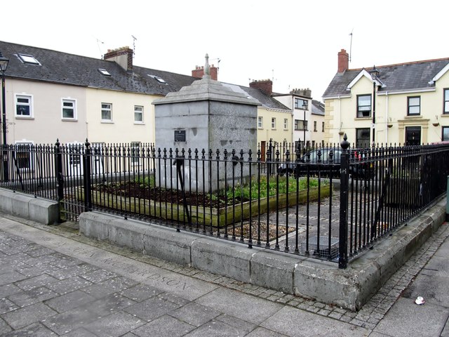 BessbrookVisitor information · 517 yd
 Bessbrook MillArmy Barracks Structures · 522 yd
 Christ ChurchChurch · 810 yd
 ENCLOSURE in Derry MoreENCLOSURE · 1.1 mi
 ENCLOSURE in CarrickcroppanENCLOSURE · 1.7 mi
 Camlough MountainMountain / peak · 2.3 mi
 Edward Street Car ParkVisitor information · 2.5 mi
 Newry CenotaphMemorial · 2.7 mi
 1971 Newry killingsmassacre · 2.7 mi
 Bagenal's CastleCastle · 2.9 mi
 Newry and Mourne MuseumMuseum · 2.9 mi