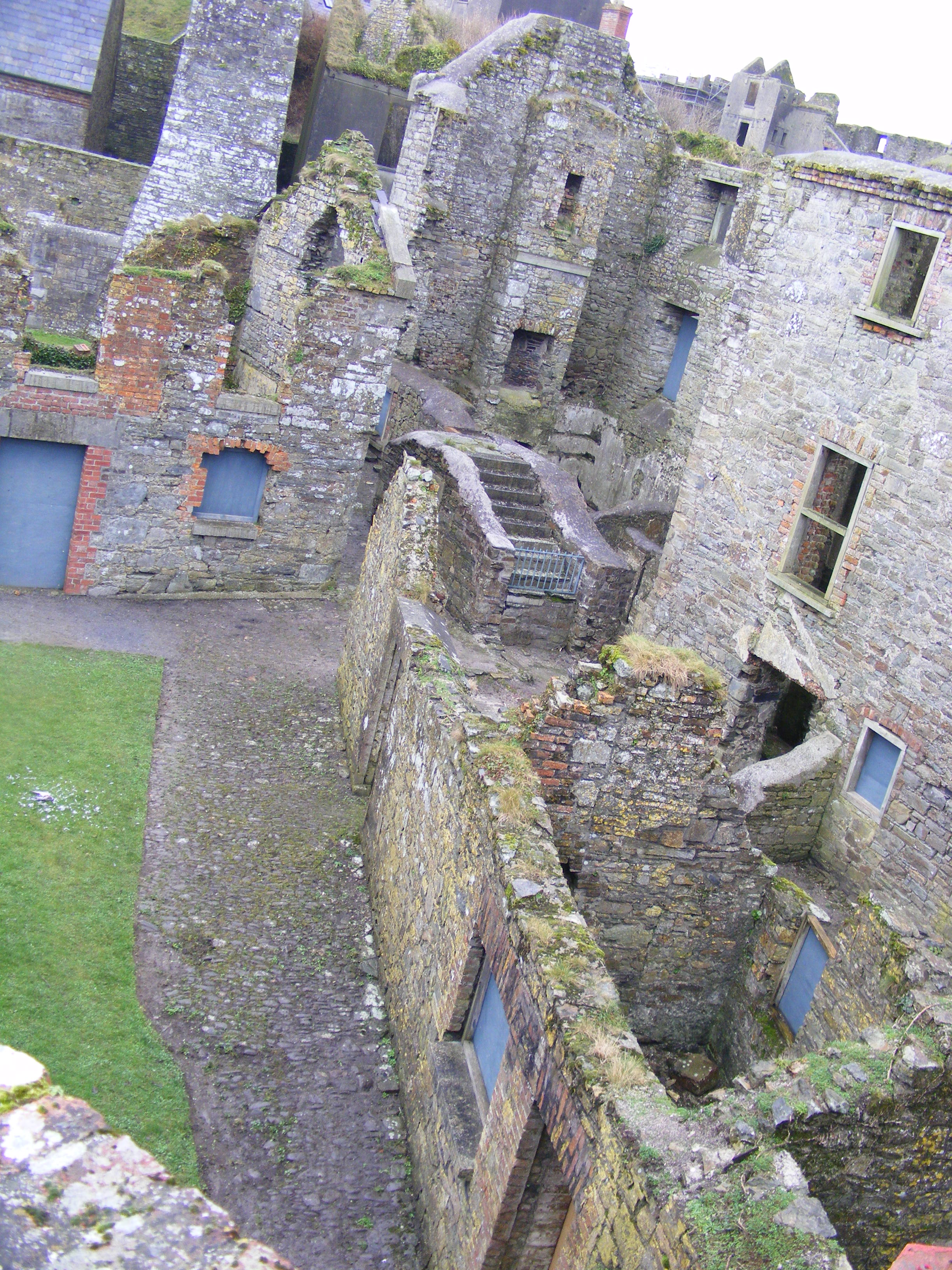
What is recorded here
Curley's Fort stands in Barnamaghery, County Down, an enclosure whose age remains uncertain but whose name suggests a person rather than a tribe. The fort may have belonged to Curley, a local strongman or trickster, and the land may have shaped him as much as he shaped it. Stone and soil remember the hands that moved them, even when no written account survives.
The official Northern Ireland record identifies this as ENCLOSURE: CURLEY'S FORT. Recorded period: UNCERTAIN. The official map point was placed at the centre of the recorded archaeological site from the source map reference.
The monument record does not grant public access. Check the route and ask the landowner before entering private land.
- What survives
- Recorded monument
Places near here
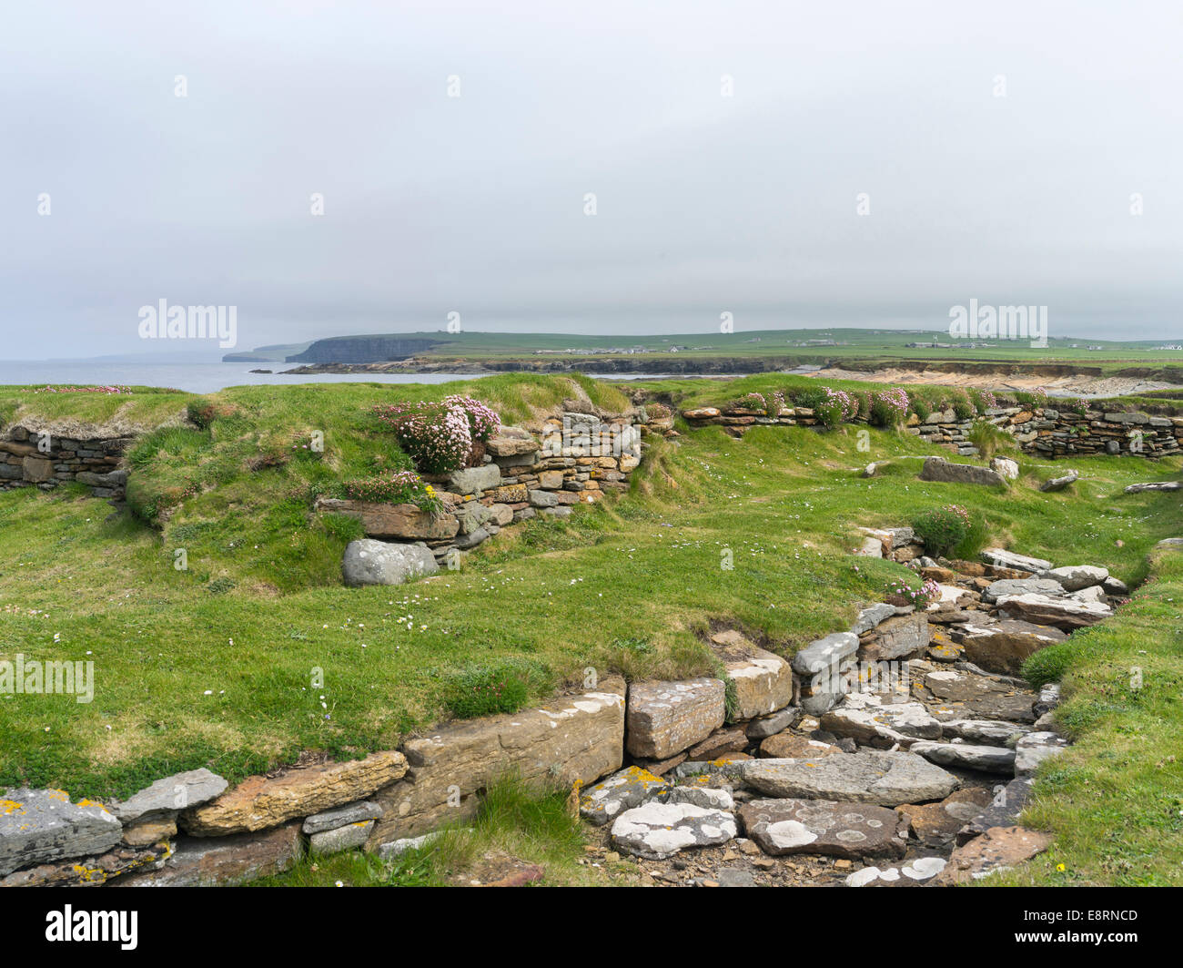 Historic Settlement Darragh Cross in BarnamagheryHistoric Settlement Darragh Cross · 528 yd
 ENCLOSURE in AughnadarraghENCLOSURE · 994 yd
 Raffrey Presbyterian ChurchChurch · 1.1 mi
 Glasswater WoodWood · 2.4 mi
 RowallaneOffice · 2.5 mi
 Battle of Saintfield (1798)Battlefield · 2.7 mi
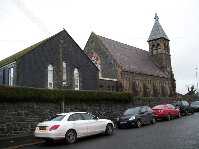 The Square Car ParkVisitor information · 3.5 mi
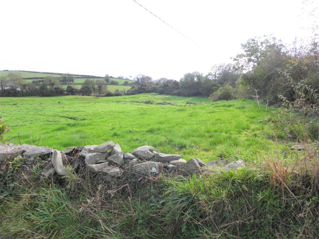 Wallace HillMountain / peak · 4.9 mi
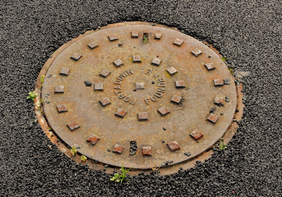 ShrigleyVisitor information · 5.0 mi
 Post-Medieval church & graveyard in TullynakillPost-Medieval church & graveyard · 5.4 mi
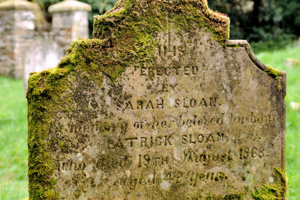 KILLOWEN MEDIEVAL CHURCH (ruined) and GRAVEYARD; with 2 CROSS-CARVED STONES in Corporation (killyleagh)KILLOWEN MEDIEVAL CHURCH (ruined) and GRAVEYARD; with 2 CROSS-CARVED STONES · 5.4 mi
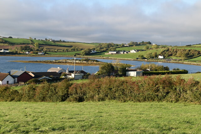 Hen IslandIslet · 5.4 mi
Other information
Photo: Credit not shown in the picture search · Rights wording not checked; contact us if this picture should be removed