What is recorded here
Allen's Field Forch stands in County Armagh as an enclosure whose age remains uncertain. The official record preserves only its name and boundary, leaving the field itself to imagine. Perhaps Allen marked his claim with stones or ditches while neighbours watched. That much is absent from the facts, but the name still sounds like a person who lived there and refused to disappear.
The official Northern Ireland record identifies this as ENCLOSURE: ALLEN'S FIELD FORTH. Recorded period: UNCERTAIN. The official map point was placed at the centre of the recorded archaeological site from the source map reference.
The monument record does not grant public access. Check the route and ask the landowner before entering private land.
- What survives
- Recorded monument
Places near here
 Curving field boundariesCurving field boundaries, Possible site of large enclosure? · 641 yd
 ENCLOSURE in DrumennisENCLOSURE · 980 yd
 Richhill War MemorialMemorial · 2.3 mi
 St. Matthew's ChurchChurch · 2.4 mi
 St.Mark's ChurchChurch · 2.4 mi
 Armagh Rail Disaster Memorial SculptureMemorial · 2.5 mi
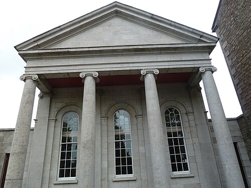 Armagh County MuseumMuseum · 2.5 mi
 Battle of the Yellow FordMajor battlefield · 2.6 mi
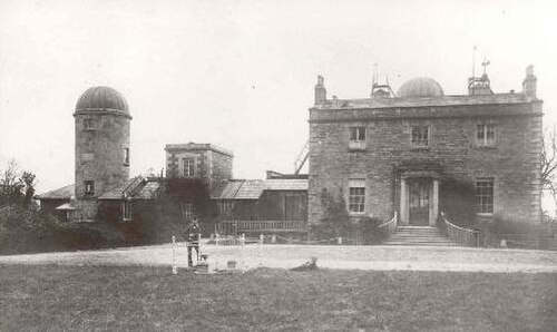 Armagh ObservatoryHistoric observatory · 2.6 mi
 Cannon HillViewpoint · 2.8 mi
 Battle of ClontibretMajor battlefield · 2.8 mi
 Abbey StreetVisitor information · 2.9 mi